Korotiti Bay Area, Korotiti Bay Postcode(1148) & Map in Korotiti Bay
Korotiti Bay Area, Korotiti Bay Postcode(1148) & Map in Korotiti Bay, Auckland, New Zealand
Korotiti Bay, Auckland, New Zealand
Korotiti Bay Postcodes
Korotiti Bay Area (estimated)
0.3 square kilometersKorotiti Bay Population (estimated)
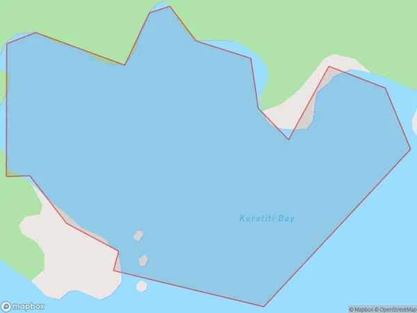
0 people live in Korotiti Bay, Aotea Great Barrier, NZKorotiti Bay Suburb Area Map (Polygon)
Korotiti Bay Introduction
Korotiti Bay is a small, sheltered bay located in the Waitemata Harbour of Auckland, New Zealand. It is known for its clear waters, sandy beaches, and stunning coastal scenery. The bay is a popular spot for swimming, kayaking, and paddleboarding, and is home to a small community of residents. It is also a popular filming location, with several movies and TV shows having been shot in the area.Region
Major City
Suburb Name
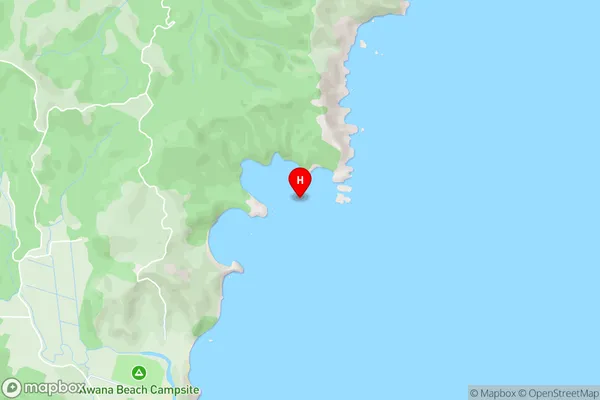
Korotiti BayKorotiti Bay Area Map (Street)
Local Authority
AucklandFull Address
Korotiti Bay, Auckland, New ZealandAddress Type
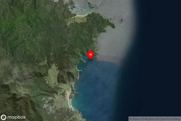
Coastal BayKorotiti Bay Suburb Map (Satellite)
Country
Main Region in AU
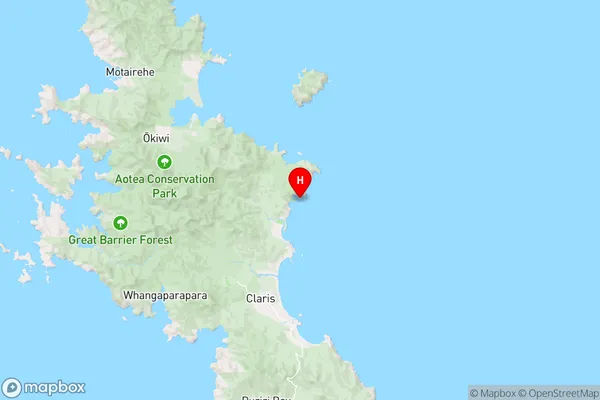
AucklandKorotiti Bay Region Map
Coordinates
-36.1894524,175.4917096 (latitude/longitude)Distances
The distance from Korotiti Bay, , Auckland to NZ Top 10 Cities