Korimako Bay Area, Korimako Bay Postcode & Map in Korimako Bay
Korimako Bay Area, Korimako Bay Postcode & Map in Korimako Bay, Area outside Territorial Authority, New Zealand
Korimako Bay, Area outside Territorial Authority, New Zealand
Korimako Bay Area (estimated)
-1.2 square kilometersKorimako Bay Population (estimated)
0 people live in Korimako Bay, Northland, NZKorimako Bay Suburb Area Map (Polygon)
Not available for nowKorimako Bay Introduction
Korimako Bay is a picturesque bay located in Northland, New Zealand. It is known for its stunning natural beauty, including rugged cliffs, crystal-clear waters, and a diverse range of marine life. The bay is a popular destination for fishing, kayaking, and snorkeling, and is home to several species of birds, including the rare North Island brown kiwi. The bay is also surrounded by lush forest and farmland, providing a peaceful and tranquil setting for visitors to enjoy.Region
Suburb Name
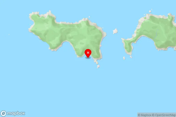
Korimako BayKorimako Bay Area Map (Street)
Local Authority
Area outside Territorial AuthorityFull Address
Korimako Bay, Area outside Territorial Authority, New ZealandAddress Type
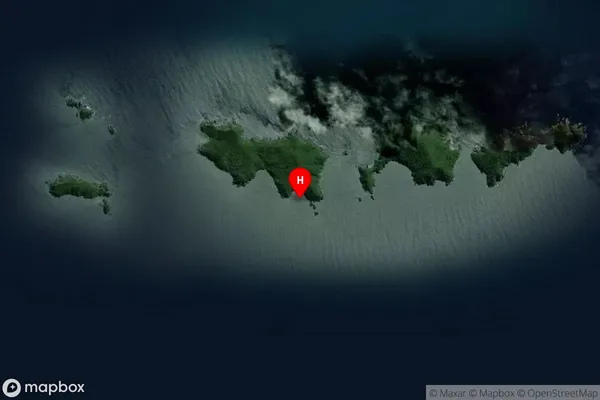
Coastal BayKorimako Bay Suburb Map (Satellite)
Country
Main Region in AU
NorthlandKorimako Bay Region Map

Coordinates
-35.89598,174.734069 (latitude/longitude)Distances
The distance from Korimako Bay, , Area outside Territorial Authority to NZ Top 10 Cities