Makomako Area, Makomako Postcode(3894) & Map in Makomako
Makomako Area, Makomako Postcode(3894) & Map in Makomako, Waikato District, New Zealand
Makomako, Waikato District, New Zealand
Makomako Postcodes
Makomako Area (estimated)
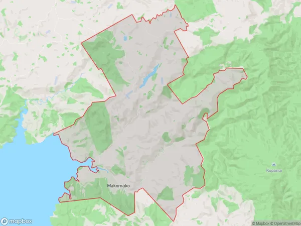
63.5 square kilometersMakomako Population (estimated)
73 people live in Makomako, Waikato, NZMakomako Suburb Area Map (Polygon)
Makomako Introduction
Makomako is a small rural community in Te Mata, Waikato, New Zealand. It is known for its beautiful natural surroundings, including the Makomako Stream and the Makomako Forest. The community has a strong sense of community and hosts regular events such as the Makomako Market and the Makomako Festival. It is also home to a number of historic buildings, including the Makomako Church and the Makomako Hall.Region
0Suburb Name
MakomakoOther Name(s)
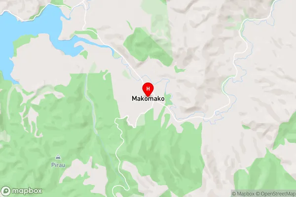
Te PapatapuMakomako Area Map (Street)
Local Authority
Waikato DistrictFull Address
Makomako, Waikato District, New ZealandAddress Type
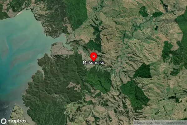
Locality in Major Locality Te MataMakomako Suburb Map (Satellite)
Country
Main Region in AU
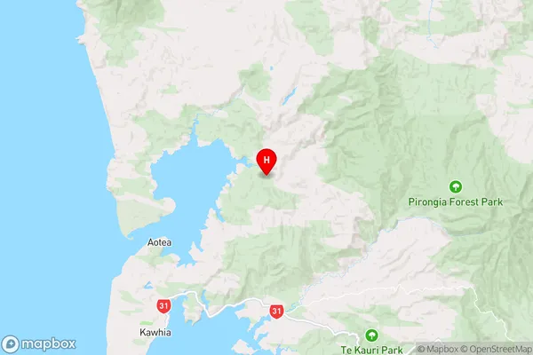
WaikatoMakomako Region Map
Coordinates
-37.9707427,174.9042749 (latitude/longitude)Distances
The distance from Makomako, Te Mata, Waikato District to NZ Top 10 Cities