Komahunga Bay / Mona Bay Area, Komahunga Bay / Mona Bay Postcode(1148) & Map in Komahunga Bay / Mona Bay
Komahunga Bay / Mona Bay Area, Komahunga Bay / Mona Bay Postcode(1148) & Map in Komahunga Bay / Mona Bay, Auckland, New Zealand
Komahunga Bay / Mona Bay, Auckland, New Zealand
Komahunga Bay / Mona Bay Postcodes
Komahunga Bay / Mona Bay Area (estimated)
0.3 square kilometersKomahunga Bay / Mona Bay Population (estimated)
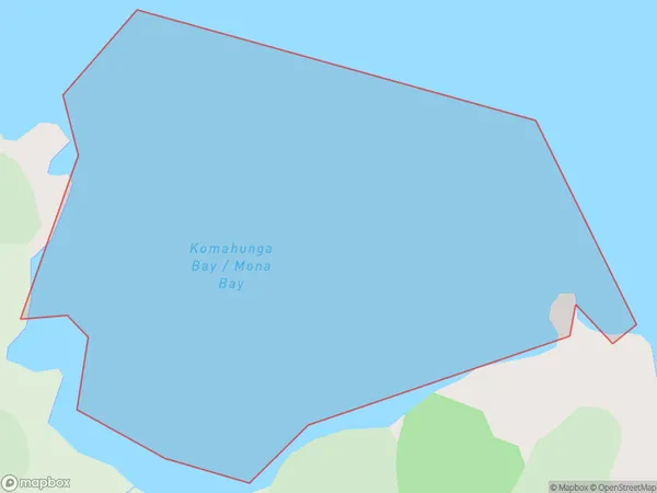
0 people live in Komahunga Bay / Mona Bay, Aotea Great Barrier, NZKomahunga Bay / Mona Bay Suburb Area Map (Polygon)
Komahunga Bay / Mona Bay Introduction
Komahunga Bay / Mona Bay is a popular spot for swimming, boating, and fishing in Auckland, New Zealand. It is located on the Hibiscus Coast and is known for its clear waters and stunning coastal scenery. The bay is also home to a variety of marine life, including dolphins, whales, and seals. Visitors can enjoy a range of activities at the bay, including picnicking, walking, and cycling.Region
Major City
Suburb Name
Komahunga Bay / Mona BayOther Name(s)
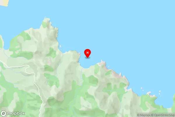
Komahunga Bay, Mona BayKomahunga Bay / Mona Bay Area Map (Street)
Local Authority
AucklandFull Address
Komahunga Bay / Mona Bay, Auckland, New ZealandAddress Type
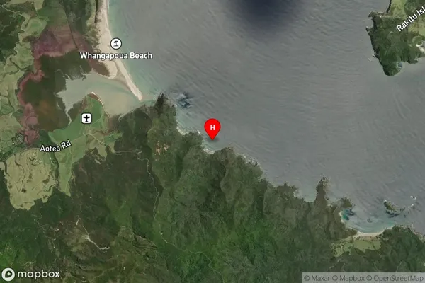
Coastal BayKomahunga Bay / Mona Bay Suburb Map (Satellite)
Country
Main Region in AU
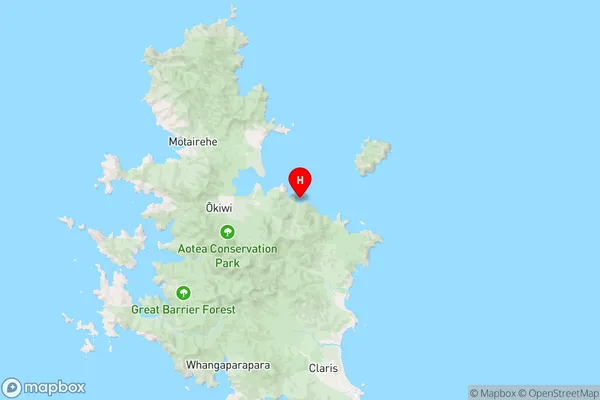
AucklandKomahunga Bay / Mona Bay Region Map
Coordinates
-36.1508147,175.448563 (latitude/longitude)Distances
The distance from Komahunga Bay / Mona Bay, , Auckland to NZ Top 10 Cities