Kiwiriki Bay Area, Kiwiriki Bay Postcode(0622) & Map in Kiwiriki Bay
Kiwiriki Bay Area, Kiwiriki Bay Postcode(0622) & Map in Kiwiriki Bay, Auckland, New Zealand
Kiwiriki Bay, Auckland, New Zealand
Kiwiriki Bay Postcodes
Kiwiriki Bay Area (estimated)
0.8 square kilometersKiwiriki Bay Population (estimated)
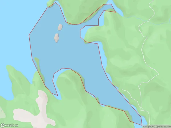
1 people live in Kiwiriki Bay, Aotea Great Barrier, NZKiwiriki Bay Suburb Area Map (Polygon)
Kiwiriki Bay Introduction
Kiwiriki Bay is a small, sheltered bay located in the Waitemata Harbour of Auckland, New Zealand. It is known for its beautiful beaches, crystal-clear waters, and vibrant marine life. The bay is a popular spot for swimming, kayaking, and paddleboarding, and it is also home to a small community of residents. The bay is surrounded by lush green hills and is a short drive from the city center of Auckland.Region
Major City
Suburb Name
Kiwiriki BayOther Name(s)
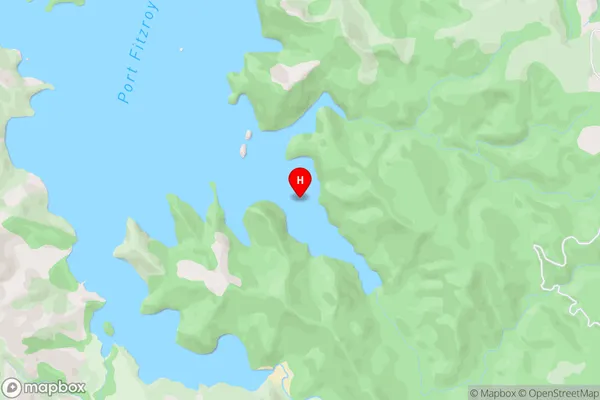
Port Fitzroy, Hauraki GulfKiwiriki Bay Area Map (Street)
Local Authority
AucklandFull Address
Kiwiriki Bay, Auckland, New ZealandAddress Type
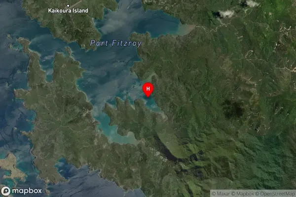
Coastal BayKiwiriki Bay Suburb Map (Satellite)
Country
Main Region in AU
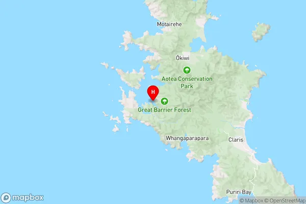
AucklandKiwiriki Bay Region Map
Coordinates
-36.2030294,175.353065 (latitude/longitude)Distances
The distance from Kiwiriki Bay, , Auckland to NZ Top 10 Cities