Kerikeri Inlet Area, Kerikeri Inlet Postcode(0204) & Map in Kerikeri Inlet
Kerikeri Inlet Area, Kerikeri Inlet Postcode(0204) & Map in Kerikeri Inlet, Far North District, New Zealand
Kerikeri Inlet, Far North District, New Zealand
Kerikeri Inlet Postcodes
Kerikeri Inlet Area (estimated)
-1.2 square kilometersKerikeri Inlet Population (estimated)
0 people live in Kerikeri Inlet, Bay of Islands-Whangaroa Community, NZKerikeri Inlet Suburb Area Map (Polygon)
Not available for nowKerikeri Inlet Introduction
Kerikeri Inlet is a picturesque waterway in Northland, New Zealand, known for its stunning natural beauty, rich cultural heritage, and as the birthplace of the famous kiwi fruit. It is a popular destination for tourists and locals alike, offering a range of activities such as fishing, hiking, and kayaking. The inlet is also home to a small community of around 1,000 people, who enjoy a relaxed and laid-back lifestyle surrounded by stunning natural scenery.Region
Major City
Suburb Name
Kerikeri InletOther Name(s)
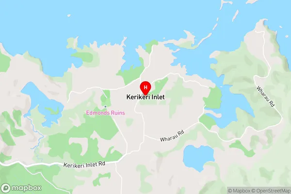
Bay Of IslandsKerikeri Inlet Area Map (Street)
Local Authority
Far North DistrictFull Address
Kerikeri Inlet, Far North District, New ZealandAddress Type
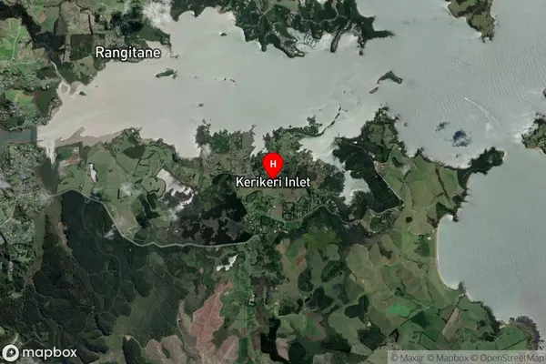
Coastal BayKerikeri Inlet Suburb Map (Satellite)
Country
Main Region in AU
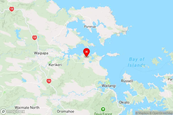
NorthlandKerikeri Inlet Region Map
Coordinates
-35.2155604,174.0271382 (latitude/longitude)Distances
The distance from Kerikeri Inlet, , Far North District to NZ Top 10 Cities