Kawhia Harbour Area, Kawhia Harbour Postcode(3900) & Map in Kawhia Harbour, Otorohanga District
Kawhia Harbour Area, Kawhia Harbour Postcode(3900) & Map in Kawhia Harbour, Otorohanga District, Waitomo District, New Zealand
Kawhia Harbour, Otorohanga District, Waitomo District, New Zealand
Kawhia Harbour Postcodes
Kawhia Harbour Area (estimated)
-1.2 square kilometersKawhia Harbour Population (estimated)
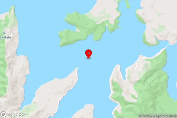
0 people live in Kawhia Harbour, Waikato, NZKawhia Harbour Suburb Area Map (Polygon)
Not available for nowKawhia Harbour Introduction
Kawhia Harbour is a sheltered, deep-water harbour on the western coast of the North Island of New Zealand. It is located in the Waikato region and is known for its clear waters, sandy beaches, and stunning natural surroundings. The harbour is a popular destination for boating, fishing, and kayaking, and is home to a small community of residents and holidaymakers.Region
Suburb Name
Kawhia HarbourKawhia Harbour Area Map (Street)
Local Authority
Otorohanga District, Waitomo District (Maori Name: Ōtorohanga District, Waitomo District)Full Address
Kawhia Harbour, Otorohanga District, Waitomo District, New ZealandAddress Type
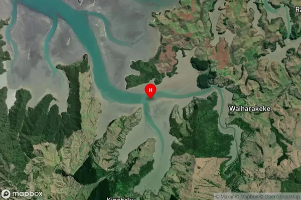
Coastal BayKawhia Harbour Suburb Map (Satellite)
Country
Main Region in AU
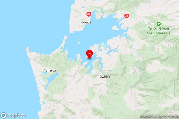
WaikatoKawhia Harbour Region Map
Coordinates
-38.131666,174.826715 (latitude/longitude)Distances
The distance from Kawhia Harbour, , Otorohanga District, Waitomo District to NZ Top 10 Cities