Makikihi Area, Makikihi Postcode(7924) & Map in Makikihi
Makikihi Area, Makikihi Postcode(7924) & Map in Makikihi, Waimate District, New Zealand
Makikihi, Waimate District, New Zealand
Makikihi Postcodes
Makikihi Area (estimated)
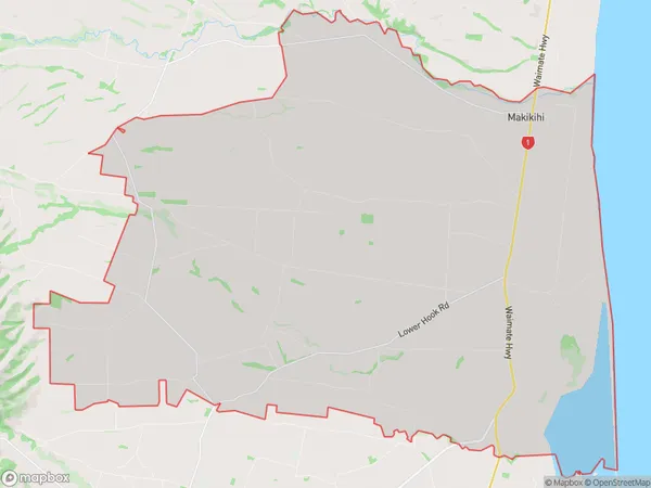
130.5 square kilometersMakikihi Population (estimated)
378 people live in Makikihi, Canterbury, NZMakikihi Suburb Area Map (Polygon)
Makikihi Introduction
Makikihi is a small rural community in Waimate, Canterbury, New Zealand. It is known for its beautiful natural surroundings, including the Makikihi Beach and the Makikihi Scenic Reserve. The community has a strong Maori culture and is home to a number of historic buildings. It is also a popular destination for tourists who enjoy hiking, fishing, and birdwatching.Region
Major City
Suburb Name
MakikihiOther Name(s)
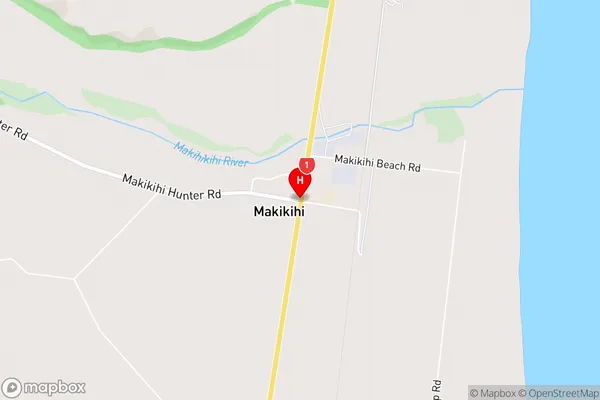
HookMakikihi Area Map (Street)
Local Authority
Waimate DistrictFull Address
Makikihi, Waimate District, New ZealandAddress Type
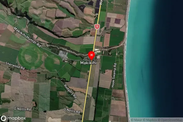
Locality in Town WaimateMakikihi Suburb Map (Satellite)
Country
Main Region in AU
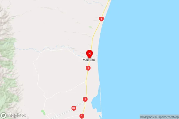
CanterburyMakikihi Region Map
Coordinates
-44.6321309,171.1407092 (latitude/longitude)Distances
The distance from Makikihi, Waimate, Waimate District to NZ Top 10 Cities