Kakaho Bay Area, Kakaho Bay Postcode & Map in Kakaho Bay
Kakaho Bay Area, Kakaho Bay Postcode & Map in Kakaho Bay, Marlborough District, New Zealand
Kakaho Bay, Marlborough District, New Zealand
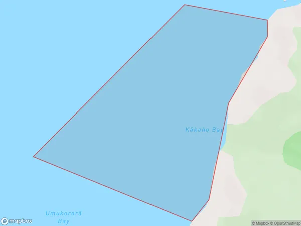
Kakaho Bay Area (estimated)
0.4 square kilometersKakaho Bay Population (estimated)
0 people live in Kakaho Bay, Marlborough, NZKakaho Bay Suburb Area Map (Polygon)
Kakaho Bay Introduction
Kakaho Bay is a small, sheltered bay located in the Marlborough region of New Zealand's South Island. It is known for its clear waters, sandy beaches, and stunning natural surroundings, making it a popular destination for tourists and locals alike. The bay is surrounded by lush green hills and is home to a variety of wildlife, including seals, dolphins, and penguins. Visitors can enjoy swimming, kayaking, and fishing in the bay, as well as exploring the nearby walking trails and scenic viewpoints.Region
Suburb Name
Kakaho Bay (Maori Name: Kākaho Bay)Other Name(s)
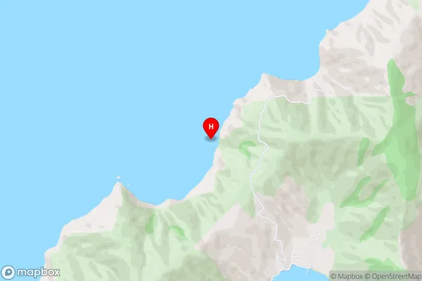
Queen Charlotte Sound (Totaranui)Kakaho Bay Area Map (Street)
Local Authority
Marlborough DistrictFull Address
Kakaho Bay, Marlborough District, New ZealandAddress Type
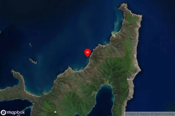
Coastal BayKakaho Bay Suburb Map (Satellite)
Country
Main Region in AU
MarlboroughKakaho Bay Region Map

Coordinates
-41.1125578,174.3601446 (latitude/longitude)Distances
The distance from Kakaho Bay, , Marlborough District to NZ Top 10 Cities