Kaitapeha Bay Area, Kaitapeha Bay Postcode & Map in Kaitapeha Bay
Kaitapeha Bay Area, Kaitapeha Bay Postcode & Map in Kaitapeha Bay, Marlborough District, New Zealand
Kaitapeha Bay, Marlborough District, New Zealand
Kaitapeha Bay Area (estimated)
0.2 square kilometersKaitapeha Bay Population (estimated)
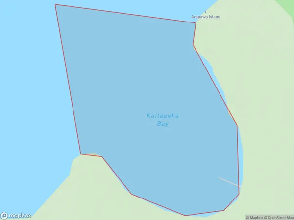
0 people live in Kaitapeha Bay, Marlborough, NZKaitapeha Bay Suburb Area Map (Polygon)
Kaitapeha Bay Introduction
Kaitapeha Bay is a popular spot for swimming, kayaking, and fishing in Marlborough, New Zealand. It is known for its clear waters and stunning coastal scenery. The bay is also home to a small community of people who live in the surrounding areas.Region
Suburb Name
Kaitapeha BayOther Name(s)
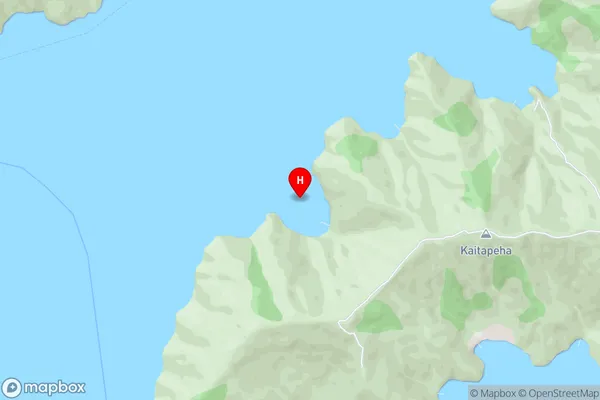
Queen Charlotte Sound (Totaranui)Kaitapeha Bay Area Map (Street)
Local Authority
Marlborough DistrictFull Address
Kaitapeha Bay, Marlborough District, New ZealandAddress Type
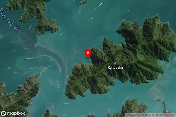
Coastal BayKaitapeha Bay Suburb Map (Satellite)
Country
Main Region in AU
MarlboroughKaitapeha Bay Region Map

Coordinates
-41.2256553,174.1737974 (latitude/longitude)Distances
The distance from Kaitapeha Bay, , Marlborough District to NZ Top 10 Cities