Kaikuku Bay Area, Kaikuku Bay Postcode(1971) & Map in Kaikuku Bay
Kaikuku Bay Area, Kaikuku Bay Postcode(1971) & Map in Kaikuku Bay, Auckland, New Zealand
Kaikuku Bay, Auckland, New Zealand
Kaikuku Bay Postcodes
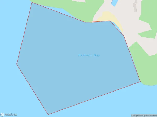
Kaikuku Bay Area (estimated)
0.2 square kilometersKaikuku Bay Population (estimated)
0 people live in Kaikuku Bay, Waiheke, NZKaikuku Bay Suburb Area Map (Polygon)
Kaikuku Bay Introduction
Kaikuku Bay is a small, sheltered bay located in the Hauraki Gulf of Auckland, New Zealand. It is known for its calm waters, sandy beaches, and picturesque surroundings, making it a popular spot for swimming, kayaking, and picnicking. The bay is also home to a small community of residents and a yacht club.Region
Major City
Suburb Name
Kaikuku BayOther Name(s)
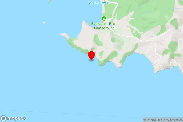
Hauraki GulfKaikuku Bay Area Map (Street)
Local Authority
AucklandFull Address
Kaikuku Bay, Auckland, New ZealandAddress Type
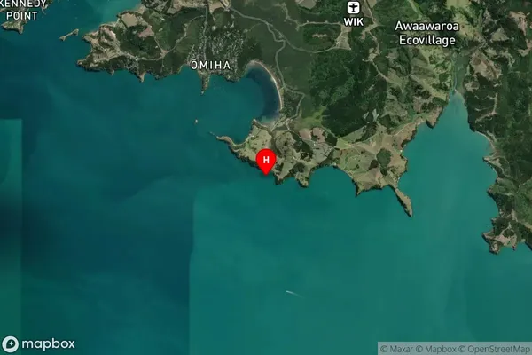
Coastal BayKaikuku Bay Suburb Map (Satellite)
Country
Main Region in AU
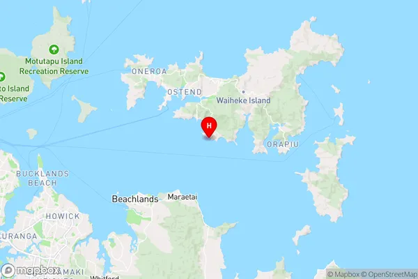
AucklandKaikuku Bay Region Map
Coordinates
-36.835581,175.0689476 (latitude/longitude)Distances
The distance from Kaikuku Bay, , Auckland to NZ Top 10 Cities