Horseshoe Bay Area, Horseshoe Bay Postcode & Map in Horseshoe Bay
Horseshoe Bay Area, Horseshoe Bay Postcode & Map in Horseshoe Bay, Area outside Territorial Authority,
Horseshoe Bay, Area outside Territorial Authority,
Horseshoe Bay Area (estimated)
1.6 square kilometersHorseshoe Bay Population (estimated)
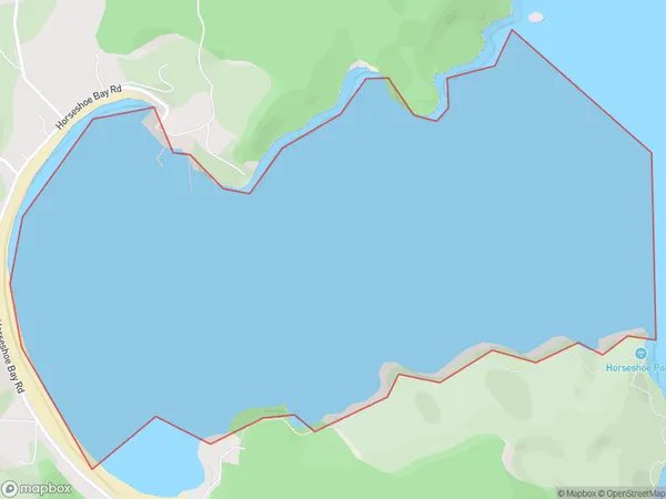
0 people live in Horseshoe Bay, Brighton, NZHorseshoe Bay Suburb Area Map (Polygon)
Horseshoe Bay Introduction
Horseshoe Bay is a popular beach located in Otago, New Zealand. It is known for its stunning turquoise waters, white sand, and picturesque surroundings. The bay offers a range of activities, including swimming, snorkeling, kayaking, and fishing. It is also a popular spot for sunbathing and watching the sunset. The bay is surrounded by rugged cliffs and lush vegetation, providing a sense of tranquility and isolation.Region
Major City
Suburb Name
Horseshoe BayHorseshoe Bay Area Map (Street)
Local Authority
Area outside Territorial AuthorityFull Address
Horseshoe Bay, Area outside Territorial Authority,Address Type
Coastal BayHorseshoe Bay Suburb Map (Satellite)
Country
Main Region in AU
OtagoHorseshoe Bay Region Map
Coordinates
0,0 (latitude/longitude)Distances
The distance from Horseshoe Bay, , Area outside Territorial Authority to NZ Top 10 Cities