Head of the Bay Area, Head of the Bay Postcode(8971) & Map in Head of the Bay
Head of the Bay Area, Head of the Bay Postcode(8971) & Map in Head of the Bay, Christchurch City, New Zealand
Head of the Bay, Christchurch City, New Zealand
Head of the Bay Postcodes
Head of the Bay Area (estimated)
5.4 square kilometersHead of the Bay Population (estimated)
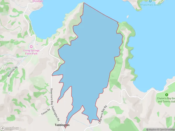
0 people live in Head of the Bay, Banks Peninsula Community, NZHead of the Bay Suburb Area Map (Polygon)
Head of the Bay Introduction
Head of the Bay is a small community located in the Banks Peninsula of Canterbury, New Zealand. It is known for its stunning coastal scenery, including beaches, cliffs, and a picturesque harbor. The area is popular with tourists and outdoor enthusiasts, who enjoy activities such as hiking, fishing, and kayaking. The community also has a small school, a post office, and a convenience store.Region
Major City
Suburb Name
Head of the BayOther Name(s)
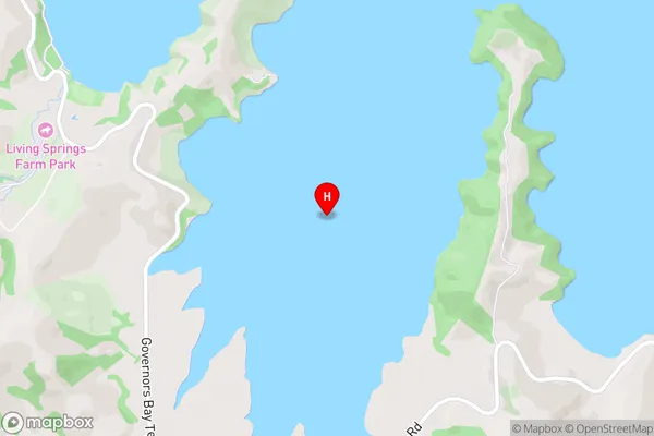
Lyttelton Harbour/Whakaraupo (Maori Name: Lyttelton Harbour/Whakaraupō)Head of the Bay Area Map (Street)
Local Authority
Christchurch CityFull Address
Head of the Bay, Christchurch City, New ZealandAddress Type
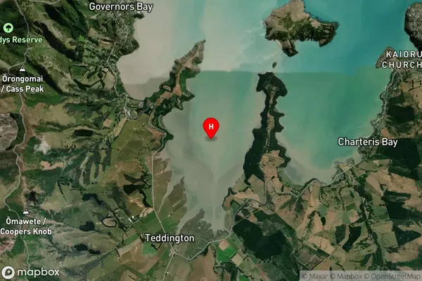
Coastal BayHead of the Bay Suburb Map (Satellite)
Country
Main Region in AU
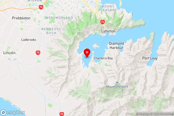
CanterburyHead of the Bay Region Map
Coordinates
-43.6485548,172.6700329 (latitude/longitude)Distances
The distance from Head of the Bay, , Christchurch City to NZ Top 10 Cities