Haumai Bay Area, Haumai Bay Postcode & Map in Haumai Bay
Haumai Bay Area, Haumai Bay Postcode & Map in Haumai Bay, Marlborough District, New Zealand
Haumai Bay, Marlborough District, New Zealand
Haumai Bay Area (estimated)
0.0 square kilometersHaumai Bay Population (estimated)
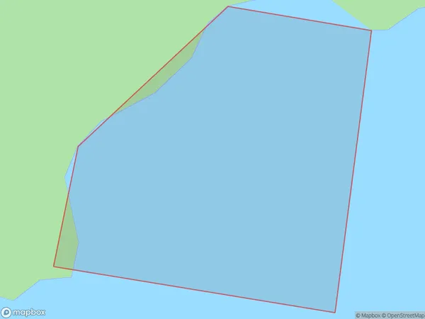
0 people live in Haumai Bay, Marlborough, NZHaumai Bay Suburb Area Map (Polygon)
Haumai Bay Introduction
Haumai Bay is a picturesque beach located in Marlborough, New Zealand. It is known for its crystal-clear waters, white sand, and stunning coastal views. The bay is a popular spot for swimming, snorkeling, and kayaking, and it is surrounded by lush green hills and vineyards. The bay has a peaceful and tranquil atmosphere, making it an ideal place to relax and unwind.Region
Suburb Name
Haumai BayOther Name(s)
Onauku Bay, East Bay, Queen Charlotte Sound (Totaranui)Haumai Bay Area Map (Street)

Local Authority
Marlborough DistrictFull Address
Haumai Bay, Marlborough District, New ZealandAddress Type
Coastal BayHaumai Bay Suburb Map (Satellite)

Country
Main Region in AU
MarlboroughHaumai Bay Region Map

Coordinates
-41.1444105,174.347277807446 (latitude/longitude)Distances
The distance from Haumai Bay, , Marlborough District to NZ Top 10 Cities