Fishing Bay Area, Fishing Bay Postcode & Map in Fishing Bay
Fishing Bay Area, Fishing Bay Postcode & Map in Fishing Bay, Southland District, New Zealand
Fishing Bay, Southland District, New Zealand
Fishing Bay Area (estimated)
0.3 square kilometersFishing Bay Population (estimated)
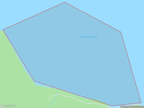
0 people live in Fishing Bay, Southland, NZFishing Bay Suburb Area Map (Polygon)
Fishing Bay Introduction
Fishing Bay is a small, sheltered bay located in Southland, New Zealand. It is known for its clear waters and stunning coastal scenery, making it a popular spot for fishing, kayaking, and boating. The bay is surrounded by rugged mountains and is home to a variety of marine life, including seals, dolphins, and penguins.Region
Suburb Name
Fishing BayOther Name(s)
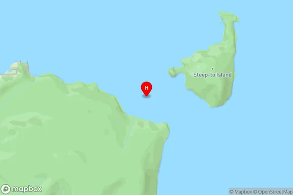
Rakituma / Preservation InletFishing Bay Area Map (Street)
Local Authority
Southland DistrictFull Address
Fishing Bay, Southland District, New ZealandAddress Type
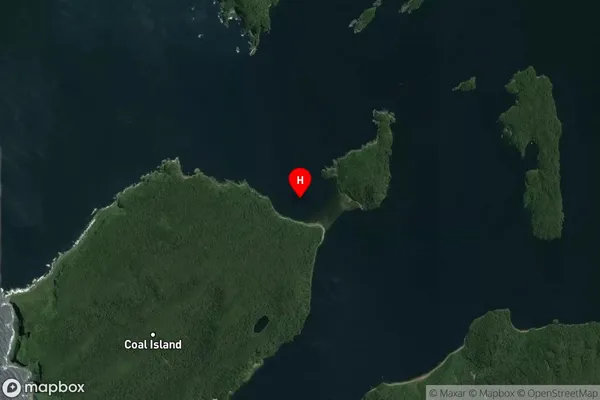
Coastal BayFishing Bay Suburb Map (Satellite)
Country
Main Region in AU
SouthlandFishing Bay Region Map

Coordinates
-46.1005261,166.6535086 (latitude/longitude)Distances
The distance from Fishing Bay, , Southland District to NZ Top 10 Cities