Fishermans Bay Area, Fishermans Bay Postcode & Map in Fishermans Bay
Fishermans Bay Area, Fishermans Bay Postcode & Map in Fishermans Bay, Marlborough District, New Zealand
Fishermans Bay, Marlborough District, New Zealand
Fishermans Bay Area (estimated)
0.1 square kilometersFishermans Bay Population (estimated)
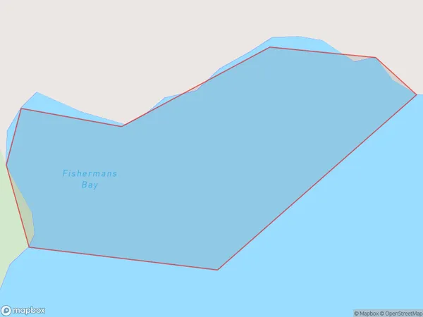
0 people live in Fishermans Bay, Marlborough, NZFishermans Bay Suburb Area Map (Polygon)
Fishermans Bay Introduction
Fishermans Bay is a popular beach in Marlborough, New Zealand, known for its clear waters, sandy shores, and stunning coastal views. It is a popular spot for swimming, sunbathing, and fishing, and is surrounded by picturesque vineyards and olive groves. The bay is also home to a small community of residents and a popular campground.Region
Suburb Name
Fishermans BayOther Name(s)
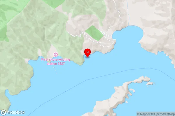
Queen Charlotte Sound (Totaranui)Fishermans Bay Area Map (Street)
Local Authority
Marlborough DistrictFull Address
Fishermans Bay, Marlborough District, New ZealandAddress Type
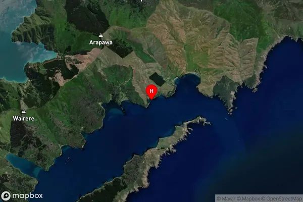
Coastal BayFishermans Bay Suburb Map (Satellite)
Country
Main Region in AU
MarlboroughFishermans Bay Region Map

Coordinates
-41.2083754,174.2972999 (latitude/longitude)Distances
The distance from Fishermans Bay, , Marlborough District to NZ Top 10 Cities