Easy Harbour Area, Easy Harbour Postcode & Map in Easy Harbour
Easy Harbour Area, Easy Harbour Postcode & Map in Easy Harbour, Area outside Territorial Authority, New Zealand
Easy Harbour, Area outside Territorial Authority, New Zealand
Easy Harbour Area (estimated)
1.0 square kilometersEasy Harbour Population (estimated)
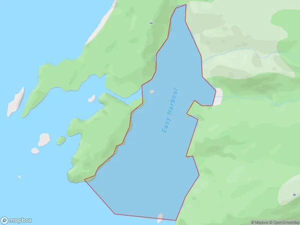
0 people live in Easy Harbour, Southland, NZEasy Harbour Suburb Area Map (Polygon)
Easy Harbour Introduction
Easy Harbour is a small settlement on the southern coast of New Zealand's Southland region. It is located on the shores of Lake Wakatipu and is a popular destination for fishing, boating, and hiking. The area is also home to a number of historic buildings, including the Easy Harbour Hotel, which was built in the 1880s.Region
Suburb Name
Easy HarbourEasy Harbour Area Map (Street)

Local Authority
Area outside Territorial AuthorityFull Address
Easy Harbour, Area outside Territorial Authority, New ZealandAddress Type
Coastal BayEasy Harbour Suburb Map (Satellite)

Country
Main Region in AU
SouthlandEasy Harbour Region Map

Coordinates
-47.15694395,167.570176835749 (latitude/longitude)Distances
The distance from Easy Harbour, , Area outside Territorial Authority to NZ Top 10 Cities