Eastern Bay Area, Eastern Bay Postcode & Map in Eastern Bay
Eastern Bay Area, Eastern Bay Postcode & Map in Eastern Bay, Area outside Territorial Authority, New Zealand
Eastern Bay, Area outside Territorial Authority, New Zealand
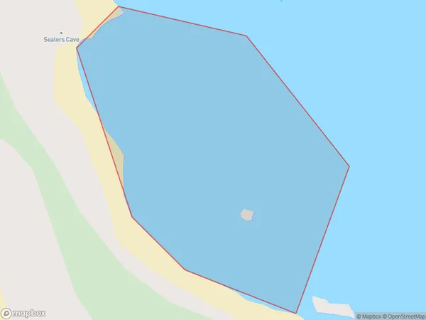
Eastern Bay Area (estimated)
0.1 square kilometersEastern Bay Population (estimated)
0 people live in Eastern Bay, Southland, NZEastern Bay Suburb Area Map (Polygon)
Eastern Bay Introduction
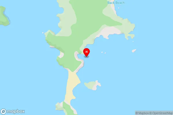
Eastern Bay is a small settlement in Southland, New Zealand. It is located on the eastern shore of Lake Wakatipu, about 10 kilometers south of Queenstown. The area is known for its scenic views, outdoor activities, and tranquil environment. Eastern Bay has a population of around 500 people and is a popular destination for tourists and locals alike.Region
Suburb Name
Eastern BayEastern Bay Area Map (Street)
Local Authority
Area outside Territorial AuthorityFull Address
Eastern Bay, Area outside Territorial Authority, New ZealandAddress Type
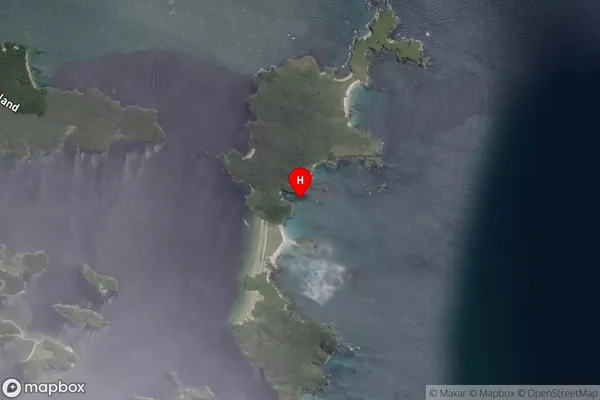
Coastal BayEastern Bay Suburb Map (Satellite)
Country
Main Region in AU
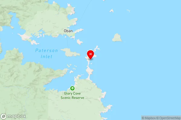
SouthlandEastern Bay Region Map
Coordinates
-46.9435585,168.17912 (latitude/longitude)Distances
The distance from Eastern Bay, , Area outside Territorial Authority to NZ Top 10 Cities