Doughboy Bay Area, Doughboy Bay Postcode & Map in Doughboy Bay
Doughboy Bay Area, Doughboy Bay Postcode & Map in Doughboy Bay, Area outside Territorial Authority, New Zealand
Doughboy Bay, Area outside Territorial Authority, New Zealand
Doughboy Bay Area (estimated)
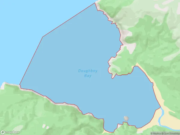
11.0 square kilometersDoughboy Bay Population (estimated)
0 people live in Doughboy Bay, Stewart Island / Rakiura Community, NZDoughboy Bay Suburb Area Map (Polygon)
Doughboy Bay Introduction
Doughboy Bay is a small bay located on the southern coast of New Zealand's Southland region. It is known for its stunning natural beauty, including rugged cliffs, crystal-clear waters, and a variety of marine life. The bay is a popular spot for fishing, kayaking, and hiking, and is surrounded by dense forest and picturesque farmland.Region
Major City
Suburb Name
Doughboy BayDoughboy Bay Area Map (Street)

Local Authority
Area outside Territorial AuthorityFull Address
Doughboy Bay, Area outside Territorial Authority, New ZealandAddress Type
Coastal BayDoughboy Bay Suburb Map (Satellite)

Country
Main Region in AU
SouthlandDoughboy Bay Region Map

Coordinates
-47.03317315,167.674050363709 (latitude/longitude)Distances
The distance from Doughboy Bay, , Area outside Territorial Authority to NZ Top 10 Cities