Airedale Area, Airedale Postcode & Map in Airedale
Airedale Area, Airedale Postcode & Map in Airedale, Waitaki District, New Zealand
Airedale, Waitaki District, New Zealand
Airedale Area (estimated)
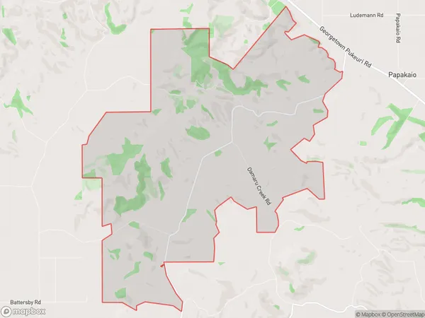
23.7 square kilometersAiredale Population (estimated)
39 people live in Airedale, Otago, NZAiredale Suburb Area Map (Polygon)
Airedale Introduction
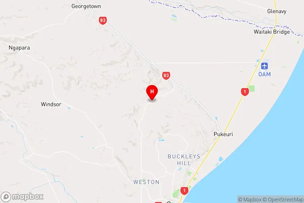
Oamaru is a historic stone town in Otago, New Zealand, known for its Victorian architecture, including the Oamaru Blue Stone Buildings. It is also home to the Otago Museum, the largest museum in New Zealand's South Island. The town is situated on the Otago Harbour, and is a popular tourist destination, with many visitors enjoying the nearby beaches and the Otago Peninsula.Region
Major City
Suburb Name
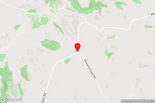
AiredaleAiredale Area Map (Street)
Local Authority
Waitaki DistrictFull Address
Airedale, Waitaki District, New ZealandAddress Type
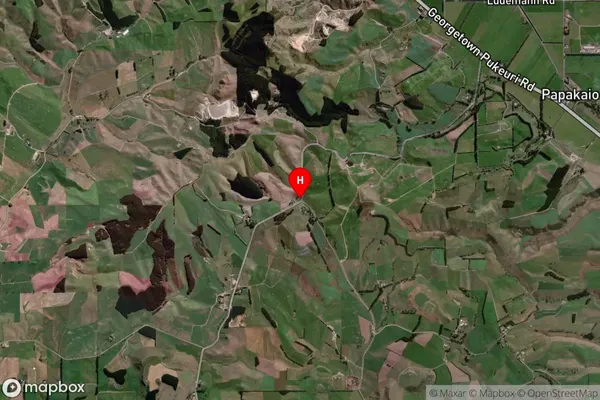
Locality in Town OamaruAiredale Suburb Map (Satellite)
Country
Main Region in AU
OtagoAiredale Region Map
Coordinates
-45.0017241,170.9327602 (latitude/longitude)Distances
The distance from Airedale, Oamaru, Waitaki District to NZ Top 10 Cities