Cuttle Cove Area, Cuttle Cove Postcode & Map in Cuttle Cove
Cuttle Cove Area, Cuttle Cove Postcode & Map in Cuttle Cove, Southland District, New Zealand
Cuttle Cove, Southland District, New Zealand
Cuttle Cove Area (estimated)
-1.2 square kilometersCuttle Cove Population (estimated)
0 people live in Cuttle Cove, Southland, NZCuttle Cove Suburb Area Map (Polygon)
Not available for nowCuttle Cove Introduction
Cuttle Cove is a small beach and settlement located in the Southland region of New Zealand. It is known for its stunning natural beauty, including crystal-clear waters, rugged cliffs, and lush forests. The area is popular with tourists and outdoor enthusiasts for activities such as hiking, kayaking, and fishing. Cuttle Cove is also home to a small community of around 50 people who live in quaint cottages and enjoy a peaceful and laid-back lifestyle.Region
Suburb Name
Cuttle CoveOther Name(s)
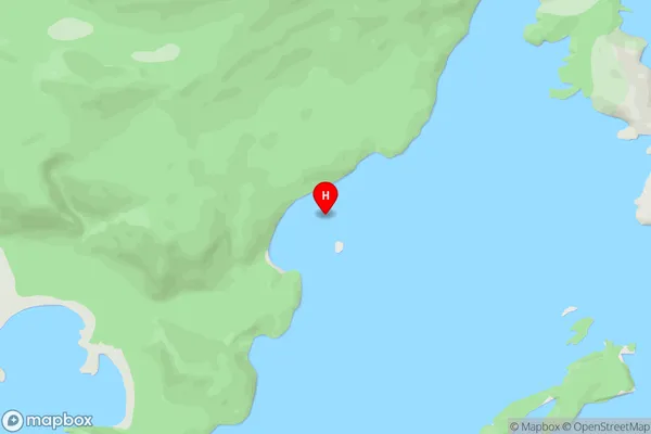
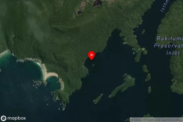
Rakituma / Preservation InletCuttle Cove Area Map (Street)
Local Authority
Southland DistrictFull Address
Cuttle Cove, Southland District, New ZealandAddress Type
Coastal BayCuttle Cove Suburb Map (Satellite)
Country
Main Region in AU
SouthlandCuttle Cove Region Map

Coordinates
-46.063917,166.661028 (latitude/longitude)Distances
The distance from Cuttle Cove, , Southland District to NZ Top 10 Cities