Cooks Cove Area, Cooks Cove Postcode(0202) & Map in Cooks Cove
Cooks Cove Area, Cooks Cove Postcode(0202) & Map in Cooks Cove, Far North District, New Zealand
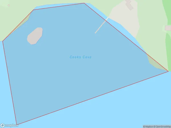
Cooks Cove, Far North District, New Zealand
Cooks Cove Postcodes
Cooks Cove Area (estimated)
0.1 square kilometersCooks Cove Population (estimated)
0 people live in Cooks Cove, Bay of Islands-Whangaroa Community, NZCooks Cove Suburb Area Map (Polygon)
Region
Major City
Suburb Name
Cooks CoveOther Name(s)
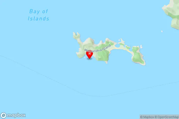
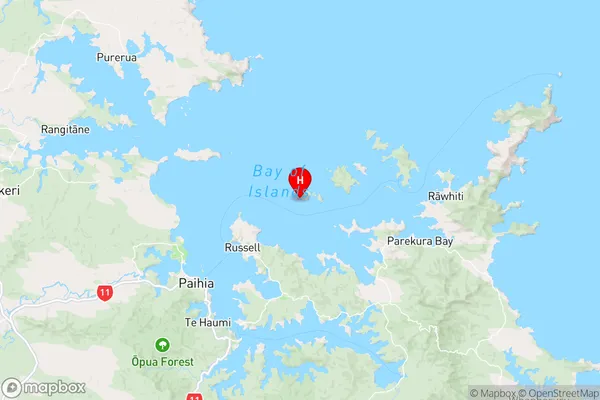
Te Rawhiti Inlet, Bay Of IslandsCooks Cove Area Map (Street)
Local Authority
Far North DistrictFull Address
Cooks Cove, Far North District, New ZealandAddress Type
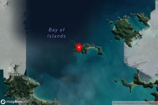
Coastal BayCooks Cove Suburb Map (Satellite)
Country
Main Region in AU
NorthlandCooks Cove Region Map
Coordinates
-35.2351731,174.1610026 (latitude/longitude)Distances
The distance from Cooks Cove, , Far North District to NZ Top 10 Cities