Cook's Cove Area, Cook's Cove Postcode(4046) & Map in Cook's Cove
Cook's Cove Area, Cook's Cove Postcode(4046) & Map in Cook's Cove, Area outside Territorial Authority, New Zealand
Cook's Cove, Area outside Territorial Authority, New Zealand
Cook's Cove Postcodes
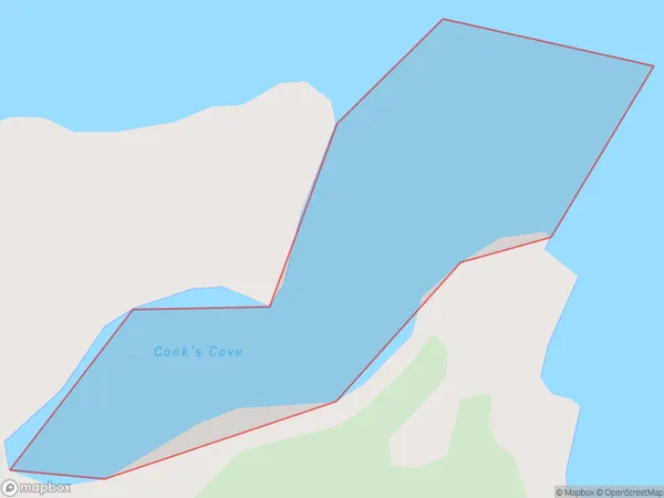
Cook's Cove Area (estimated)
0.1 square kilometersCook's Cove Population (estimated)
0 people live in Cook's Cove, Gisborne, NZCook's Cove Suburb Area Map (Polygon)
Cook's Cove Introduction
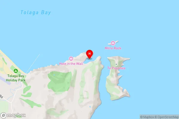
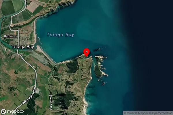
Cook's Cove is a small beach located in Gisborne, New Zealand. It is known for its crystal-clear waters, stunning coastal scenery, and peaceful atmosphere. The cove is a popular spot for swimming, sunbathing, and fishing, and it is surrounded by lush green forests and rolling hills. Visitors can also explore the nearby Cook's Beach Walkway, a scenic trail that leads to a picturesque lighthouse and a viewing platform with panoramic views of the coastline.Region
Suburb Name
Cook's CoveCook's Cove Area Map (Street)
Local Authority
Area outside Territorial AuthorityFull Address
Cook's Cove, Area outside Territorial Authority, New ZealandAddress Type
Coastal BayCook's Cove Suburb Map (Satellite)
Country
Main Region in AU
GisborneCook's Cove Region Map

Coordinates
-38.3795323,178.3370572 (latitude/longitude)Distances
The distance from Cook's Cove, , Area outside Territorial Authority to NZ Top 10 Cities