Cook Arm Area, Cook Arm Postcode & Map in Cook Arm
Cook Arm Area, Cook Arm Postcode & Map in Cook Arm, Area outside Territorial Authority, New Zealand
Cook Arm, Area outside Territorial Authority, New Zealand
Cook Arm Area (estimated)
0.5 square kilometersCook Arm Population (estimated)
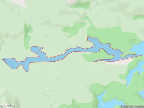
0 people live in Cook Arm, Southland, NZCook Arm Suburb Area Map (Polygon)

Cook Arm Introduction
Cook Arm is a small bay and arm of the Foveaux Strait in Southland, New Zealand. It is located between the Otago Peninsula and the Southland District. The bay is named after Captain James Cook, who visited the area in 1770. The bay is a popular spot for fishing, kayaking, and boating. There are several settlements located along the bay, including Kaikoura and Ohau.Region
Suburb Name
Cook ArmOther Name(s)
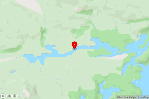
Port Pegasus / PikihatitiCook Arm Area Map (Street)

Local Authority
Area outside Territorial AuthorityFull Address
Cook Arm, Area outside Territorial Authority, New ZealandAddress Type
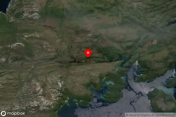
Coastal BayCook Arm Suburb Map (Satellite)

Country
Main Region in AU
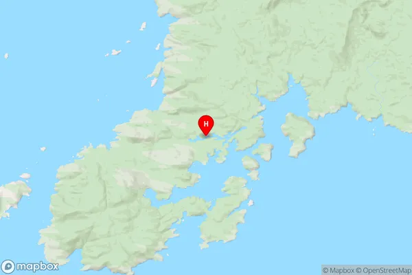
SouthlandCook Arm Region Map

Coordinates
-47.194893,167.615802 (latitude/longitude)Distances
The distance from Cook Arm, , Area outside Territorial Authority to NZ Top 10 Cities