Cooey Bay Area, Cooey Bay Postcode & Map in Cooey Bay
Cooey Bay Area, Cooey Bay Postcode & Map in Cooey Bay, Area outside Territorial Authority, New Zealand
Cooey Bay, Area outside Territorial Authority, New Zealand
Cooey Bay Area (estimated)
0.1 square kilometersCooey Bay Population (estimated)
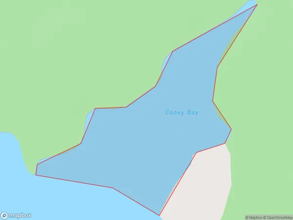
0 people live in Cooey Bay, Southland, NZCooey Bay Suburb Area Map (Polygon)
Cooey Bay Introduction
Cooey Bay is a small settlement on the southern coast of New Zealand's Southland region. It is located about 10 kilometers south of Lumsden and 220 kilometers south of Invercargill. The area is known for its scenic beauty, with rugged cliffs, sandy beaches, and crystal-clear waters. Cooey Bay is a popular destination for outdoor enthusiasts, with opportunities for hiking, fishing, and kayaking. The settlement also has a small community hall and a school.Region
Suburb Name
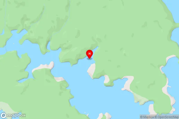
Cooey BayCooey Bay Area Map (Street)
Local Authority
Area outside Territorial AuthorityFull Address
Cooey Bay, Area outside Territorial Authority, New ZealandAddress Type
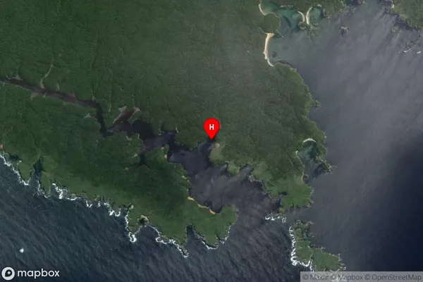
Coastal BayCooey Bay Suburb Map (Satellite)
Country
Main Region in AU
SouthlandCooey Bay Region Map

Coordinates
-47.1055,168.12925 (latitude/longitude)Distances
The distance from Cooey Bay, , Area outside Territorial Authority to NZ Top 10 Cities