Colville Bay Area, Colville Bay Postcode(3500) & Map in Colville Bay
Colville Bay Area, Colville Bay Postcode(3500) & Map in Colville Bay, Thames-Coromandel District, New Zealand
Colville Bay, Thames-Coromandel District, New Zealand
Colville Bay Postcodes
Colville Bay Area (estimated)
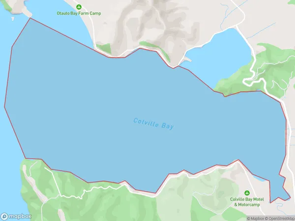
5.0 square kilometersColville Bay Population (estimated)
0 people live in Colville Bay, Waikato, NZColville Bay Suburb Area Map (Polygon)
Colville Bay Introduction
Colville Bay is a small, peaceful bay located in the Waikato region of New Zealand. It is known for its stunning natural beauty, including crystal-clear waters, sandy beaches, and lush coastal vegetation. The bay is a popular spot for swimming, kayaking, and fishing, and it is also home to a small community of residents. The bay is surrounded by picturesque farmland and rolling hills, and it offers a peaceful and tranquil escape from the hustle and bustle of city life.Region
Suburb Name
Colville BayOther Name(s)
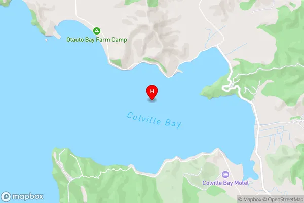
Hauraki GulfColville Bay Area Map (Street)
Local Authority
Thames-Coromandel DistrictFull Address
Colville Bay, Thames-Coromandel District, New ZealandAddress Type
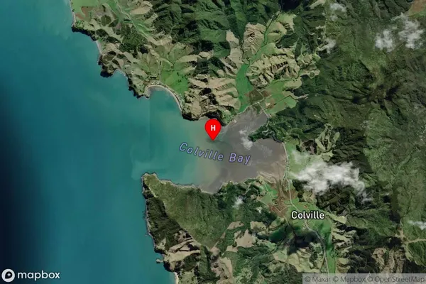
Coastal BayColville Bay Suburb Map (Satellite)
Country
Main Region in AU
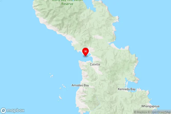
WaikatoColville Bay Region Map
Coordinates
-36.6194614,175.454387733928 (latitude/longitude)Distances
The distance from Colville Bay, , Thames-Coromandel District to NZ Top 10 Cities