Mairehau Area, Mairehau Postcode(8013) & Map in Mairehau
Mairehau Area, Mairehau Postcode(8013) & Map in Mairehau, Christchurch City, New Zealand
Mairehau, Christchurch City, New Zealand
Mairehau Area (estimated)
5.4 square kilometersMairehau Population (estimated)
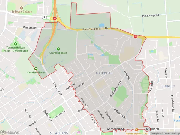
7765 people live in Mairehau, Christchurch, NZMairehau Suburb Area Map (Polygon)
Mairehau Introduction
Mairehau is a suburb of Christchurch, New Zealand, located in the city's east. It is known for its vibrant community and diverse culture, with a large population of immigrants from various countries. The suburb has a variety of shops, restaurants, and recreational facilities, including a park and a community center. Mairehau is also home to a number of important historical sites, including the Mairehau Fortress, which was built in the 1860s to protect the city from potential invasion.Region
Major City
Suburb Name
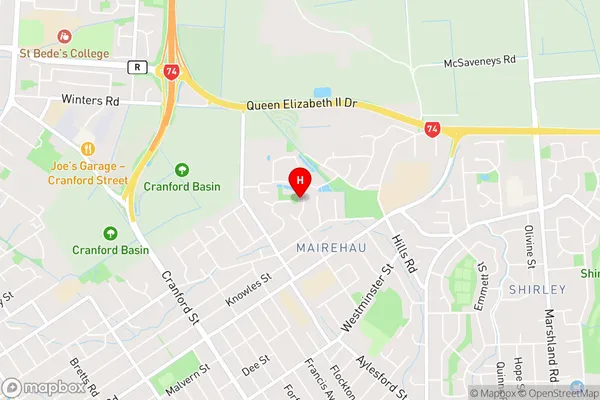
MairehauMairehau Area Map (Street)
Local Authority
Christchurch CityFull Address
Mairehau, Christchurch City, New ZealandAddress Type
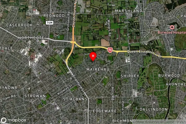
Suburb in City ChristchurchMairehau Suburb Map (Satellite)
Country
Main Region in AU
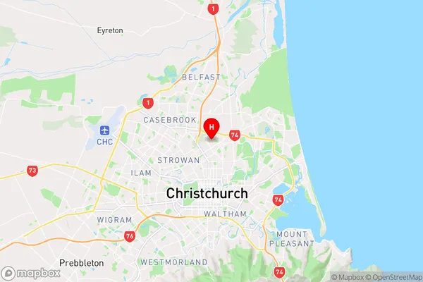
CanterburyMairehau Region Map
Coordinates
-43.4939696,172.6407694 (latitude/longitude)Distances
The distance from Mairehau, Christchurch, Christchurch City to NZ Top 10 Cities