Christmas Village Bay Area, Christmas Village Bay Postcode & Map in Christmas Village Bay
Christmas Village Bay Area, Christmas Village Bay Postcode & Map in Christmas Village Bay, Area outside Territorial Authority, New Zealand
Christmas Village Bay, Area outside Territorial Authority, New Zealand
Christmas Village Bay Area (estimated)
0.2 square kilometersChristmas Village Bay Population (estimated)
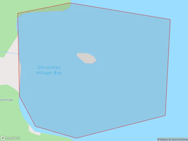
0 people live in Christmas Village Bay, Stewart Island / Rakiura Community, NZChristmas Village Bay Suburb Area Map (Polygon)
Christmas Village Bay Introduction
Christmas Village Bay is a small settlement in Southland, New Zealand, located on the southern shore of Lake Wakatipu. It is known for its picturesque scenery, including snow-capped mountains, forests, and a picturesque harbor. The village is home to a variety of holiday homes and accommodations, as well as a range of restaurants and cafes. It is a popular destination for tourists during the Christmas season, with many visitors coming to enjoy the festive atmosphere and the beautiful natural surroundings.Region
Major City
Suburb Name
Christmas Village BayChristmas Village Bay Area Map (Street)

Local Authority
Area outside Territorial AuthorityFull Address
Christmas Village Bay, Area outside Territorial Authority, New ZealandAddress Type
Coastal BayChristmas Village Bay Suburb Map (Satellite)

Country
Main Region in AU
SouthlandChristmas Village Bay Region Map

Coordinates
-46.75130475,167.982795486088 (latitude/longitude)Distances
The distance from Christmas Village Bay, , Area outside Territorial Authority to NZ Top 10 Cities