Bragg Bay Area, Bragg Bay Postcode(9818) & Map in Bragg Bay
Bragg Bay Area, Bragg Bay Postcode(9818) & Map in Bragg Bay, Area outside Territorial Authority, New Zealand
Bragg Bay, Area outside Territorial Authority, New Zealand
Bragg Bay Postcodes
Bragg Bay Area (estimated)
0.0 square kilometersBragg Bay Population (estimated)
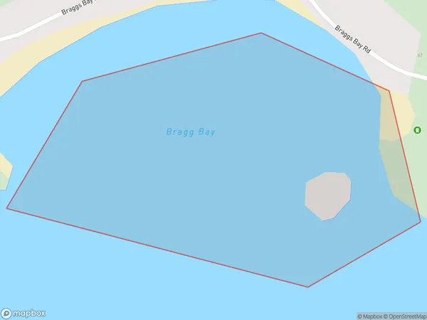
0 people live in Bragg Bay, Southland, NZBragg Bay Suburb Area Map (Polygon)
Bragg Bay Introduction
Bragg Bay is a small settlement on the southern coast of New Zealand's Southland region. It is located on the shores of Lake Wakatipu and is known for its stunning natural beauty, including crystal-clear waters, rugged mountain ranges, and lush forests. The bay is a popular destination for outdoor enthusiasts, with opportunities for hiking, fishing, and kayaking. There are also several historic buildings in the area, including a former gold mining settlement and a lighthouse.Region
Suburb Name
Bragg BayOther Name(s)
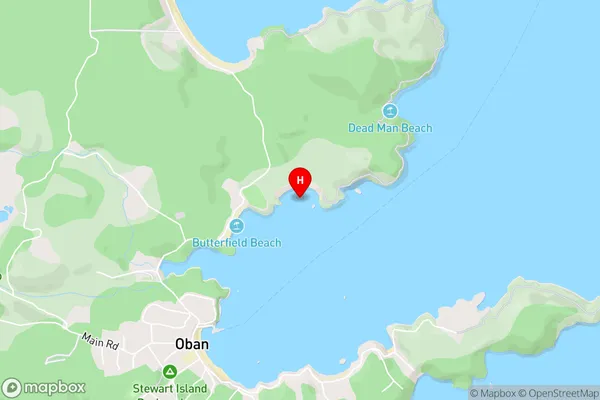
Halfmoon BayBragg Bay Area Map (Street)
Local Authority
Area outside Territorial AuthorityFull Address
Bragg Bay, Area outside Territorial Authority, New ZealandAddress Type
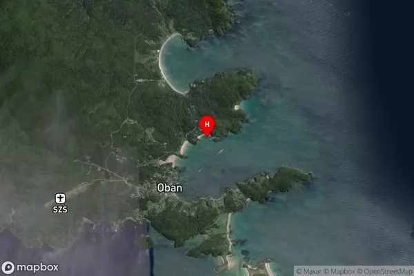
Coastal BayBragg Bay Suburb Map (Satellite)
Country
Main Region in AU
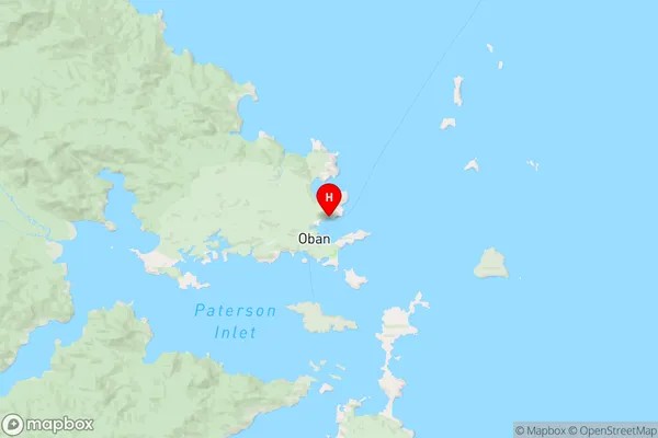
SouthlandBragg Bay Region Map
Coordinates
-46.88954,168.13766 (latitude/longitude)Distances
The distance from Bragg Bay, , Area outside Territorial Authority to NZ Top 10 Cities