Bowling Alley Bay Area, Bowling Alley Bay Postcode(0622) & Map in Bowling Alley Bay
Bowling Alley Bay Area, Bowling Alley Bay Postcode(0622) & Map in Bowling Alley Bay, Auckland, New Zealand
Bowling Alley Bay, Auckland, New Zealand
Bowling Alley Bay Postcodes
Bowling Alley Bay Area (estimated)
0.3 square kilometersBowling Alley Bay Population (estimated)
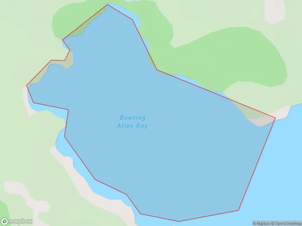
0 people live in Bowling Alley Bay, Aotea Great Barrier, NZBowling Alley Bay Suburb Area Map (Polygon)
Bowling Alley Bay Introduction
Bowling Alley Bay is a popular spot in Auckland, New Zealand, for swimming, kayaking, and paddleboarding. It is located at the end of Beach Road and has a large car park, picnic areas, and a boat ramp. The bay is also home to a small community of birds, including terns and seagulls.Region
Major City
Suburb Name
Bowling Alley BayOther Name(s)
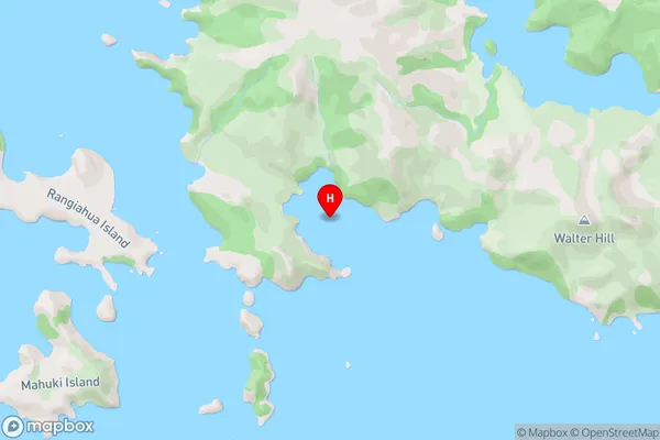
Hauraki GulfBowling Alley Bay Area Map (Street)
Local Authority
AucklandFull Address
Bowling Alley Bay, Auckland, New ZealandAddress Type
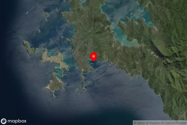
Coastal BayBowling Alley Bay Suburb Map (Satellite)
Country
Main Region in AU
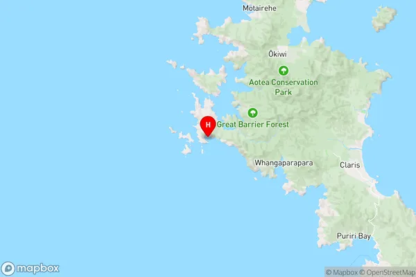
AucklandBowling Alley Bay Region Map
Coordinates
-36.2228346,175.3240902 (latitude/longitude)Distances
The distance from Bowling Alley Bay, , Auckland to NZ Top 10 Cities