Big Kuri Bay Area, Big Kuri Bay Postcode & Map in Big Kuri Bay
Big Kuri Bay Area, Big Kuri Bay Postcode & Map in Big Kuri Bay, Area outside Territorial Authority, New Zealand
Big Kuri Bay, Area outside Territorial Authority, New Zealand
Big Kuri Bay Area (estimated)
0.7 square kilometersBig Kuri Bay Population (estimated)
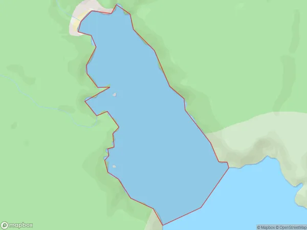
0 people live in Big Kuri Bay, Southland, NZBig Kuri Bay Suburb Area Map (Polygon)
Big Kuri Bay Introduction
Big Kuri Bay is a popular beach in Southland, New Zealand. It is known for its golden sand, clear waters, and stunning coastal views. The bay is a popular spot for swimming, surfing, and fishing, and it is surrounded by native forests and picturesque farmland. The bay has a peaceful and tranquil atmosphere, making it an ideal place to relax and unwind.Region
Suburb Name
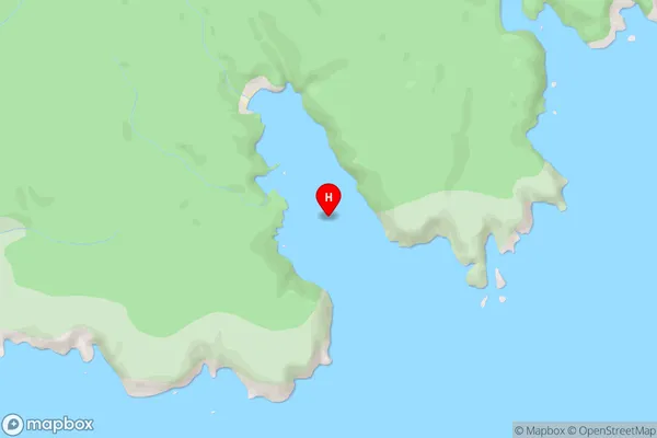
Big Kuri BayBig Kuri Bay Area Map (Street)
Local Authority
Area outside Territorial AuthorityFull Address
Big Kuri Bay, Area outside Territorial Authority, New ZealandAddress Type
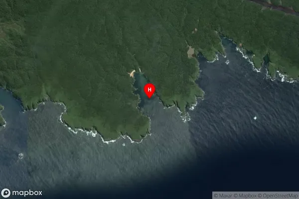
Coastal BayBig Kuri Bay Suburb Map (Satellite)
Country
Main Region in AU
SouthlandBig Kuri Bay Region Map

Coordinates
-47.119353,168.0466712 (latitude/longitude)Distances
The distance from Big Kuri Bay, , Area outside Territorial Authority to NZ Top 10 Cities