Big Glory Bay Area, Big Glory Bay Postcode & Map in Big Glory Bay
Big Glory Bay Area, Big Glory Bay Postcode & Map in Big Glory Bay, Area outside Territorial Authority, New Zealand
Big Glory Bay, Area outside Territorial Authority, New Zealand
Big Glory Bay Area (estimated)
13.8 square kilometersBig Glory Bay Population (estimated)
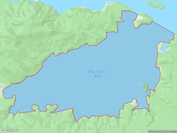
0 people live in Big Glory Bay, Southland, NZBig Glory Bay Suburb Area Map (Polygon)
Big Glory Bay Introduction
Big Glory Bay is a small, peaceful bay located in Southland, New Zealand. It is surrounded by stunning natural scenery, including mountains, forests, and rivers, and is a popular spot for fishing, kayaking, and hiking. The bay is also home to a small community of residents who enjoy the quiet and peaceful lifestyle that the area offers.Region
Suburb Name
Big Glory BayBig Glory Bay Area Map (Street)

Local Authority
Area outside Territorial AuthorityFull Address
Big Glory Bay, Area outside Territorial Authority, New ZealandAddress Type
Coastal BayBig Glory Bay Suburb Map (Satellite)

Country
Main Region in AU
SouthlandBig Glory Bay Region Map

Coordinates
-46.9764775,168.116010645984 (latitude/longitude)Distances
The distance from Big Glory Bay, , Area outside Territorial Authority to NZ Top 10 Cities