Bay of Many Coves / Miritu Bay Area, Bay of Many Coves / Miritu Bay Postcode & Map in Bay of Many Coves / Miritu Bay
Bay of Many Coves / Miritu Bay Area, Bay of Many Coves / Miritu Bay Postcode & Map in Bay of Many Coves / Miritu Bay, Marlborough District,
Bay of Many Coves / Miritu Bay, Marlborough District,
Bay of Many Coves / Miritu Bay Area (estimated)
6.6 square kilometersBay of Many Coves / Miritu Bay Population (estimated)
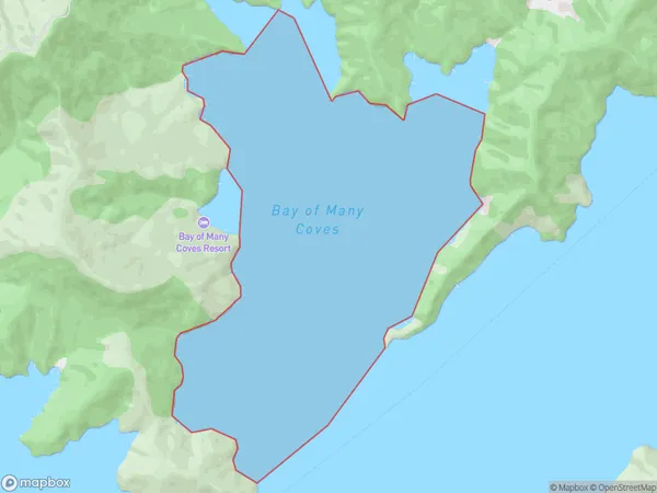
0 people live in Bay of Many Coves / Miritu Bay, Brighton, NZBay of Many Coves / Miritu Bay Suburb Area Map (Polygon)
Bay of Many Coves / Miritu Bay Introduction
Miritu Bay is a small, secluded bay in New Zealand's South Island. It is located in the Otago region and is known for its stunning natural beauty, including rugged cliffs, crystal-clear waters, and a variety of marine life. The bay is a popular spot for fishing, kayaking, and snorkeling, and it is also home to a small community of residents who live in the surrounding area.Region
Major City
Suburb Name
Bay of Many Coves / Miritu Bay (Maori Name: Bay of Many Coves / Miritū Bay)Other Name(s)
Queen Charlotte Sound (Totaranui), Miritu BayBay of Many Coves / Miritu Bay Area Map (Street)
Local Authority
Marlborough DistrictFull Address
Bay of Many Coves / Miritu Bay, Marlborough District,Address Type
Coastal BayBay of Many Coves / Miritu Bay Suburb Map (Satellite)
Country
Main Region in AU
OtagoBay of Many Coves / Miritu Bay Region Map
Coordinates
0,0 (latitude/longitude)Distances
The distance from Bay of Many Coves / Miritu Bay, , Marlborough District to NZ Top 10 Cities