Bakers Bay Area, Bakers Bay Postcode & Map in Bakers Bay
Bakers Bay Area, Bakers Bay Postcode & Map in Bakers Bay, Marlborough District, New Zealand
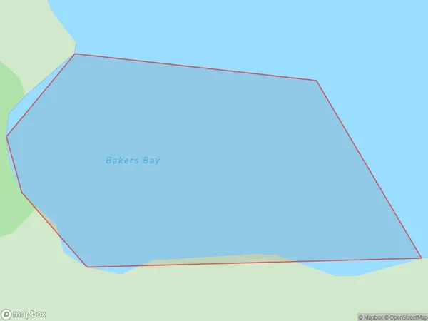
Bakers Bay, Marlborough District, New Zealand
Bakers Bay Area (estimated)
0.2 square kilometersBakers Bay Population (estimated)
0 people live in Bakers Bay, Marlborough, NZBakers Bay Suburb Area Map (Polygon)
Bakers Bay Introduction
Bakers Bay is a picturesque beach located in Marlborough, New Zealand. It is known for its crystal-clear waters, white sand, and stunning coastal views. The bay is a popular spot for swimming, sunbathing, and water sports such as kayaking and paddleboarding. It is also home to a variety of marine life, including seals and dolphins. The bay is surrounded by lush green hills and vineyards, making it a popular destination for wine lovers.Region
Suburb Name
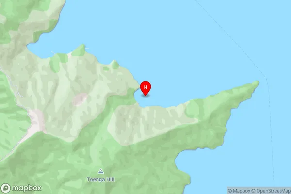
Bakers BayOther Name(s)
Endeavour Inlet, Queen Charlotte Sound (Totaranui)Bakers Bay Area Map (Street)
Local Authority
Marlborough DistrictFull Address
Bakers Bay, Marlborough District, New ZealandAddress Type
Coastal BayBakers Bay Suburb Map (Satellite)
Country
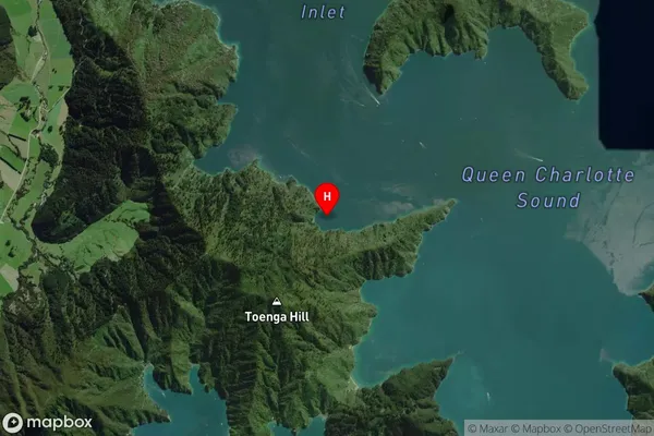
Main Region in AU
MarlboroughBakers Bay Region Map

Coordinates
-41.1560694,174.1805191 (latitude/longitude)Distances
The distance from Bakers Bay, , Marlborough District to NZ Top 10 Cities