Apuau Channel Area, Apuau Channel Postcode & Map in Apuau Channel
Apuau Channel Area, Apuau Channel Postcode & Map in Apuau Channel, Marlborough District, New Zealand
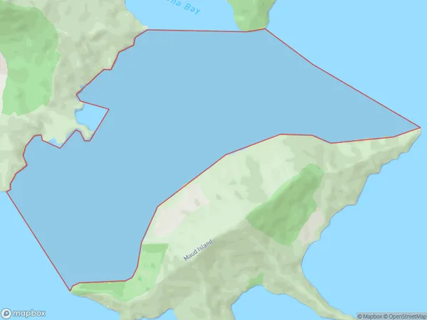
Apuau Channel, Marlborough District, New Zealand
Apuau Channel Area (estimated)
4.6 square kilometersApuau Channel Population (estimated)
0 people live in Apuau Channel, Marlborough, NZApuau Channel Suburb Area Map (Polygon)
Apuau Channel Introduction
Apuau Channel is a small, narrow, and deep channel that separates the Awatere Peninsula from the Blenheim Peninsula in Marlborough, New Zealand. It is known for its stunning coastal scenery, including rugged cliffs, picturesque beaches, and lush green forests. The channel is a popular spot for fishing, kayaking, and sailing, and it is home to a variety of marine species, including dolphins, whales, and seals.Region
Suburb Name
Apuau ChannelOther Name(s)
Waitata Reach (Maori Name: Waitātā Reach)Apuau Channel Area Map (Street)

Local Authority
Marlborough DistrictFull Address
Apuau Channel, Marlborough District, New ZealandAddress Type
Coastal BayApuau Channel Suburb Map (Satellite)

Country
Main Region in AU
MarlboroughApuau Channel Region Map

Coordinates
-41.01149085,173.891438825586 (latitude/longitude)Distances
The distance from Apuau Channel, , Marlborough District to NZ Top 10 Cities