Akaroa Harbour Area, Akaroa Harbour Postcode(8011) & Map in Akaroa Harbour
Akaroa Harbour Area, Akaroa Harbour Postcode(8011) & Map in Akaroa Harbour, Christchurch City, New Zealand
Akaroa Harbour, Christchurch City, New Zealand
Akaroa Harbour Postcodes
Akaroa Harbour Area (estimated)
-1.2 square kilometersAkaroa Harbour Population (estimated)
0 people live in Akaroa Harbour, Banks Peninsula Community, NZAkaroa Harbour Suburb Area Map (Polygon)
Not available for nowAkaroa Harbour Introduction
Akaroa Harbour is a natural harbor and estuary of the Akaroa River in the Canterbury region of New Zealand. It is known for its scenic beauty, including its rugged coastline, picturesque settlements, and diverse wildlife. The harbor is a popular tourist destination and is home to a small community of around 4,000 people. It is also a significant fishing and aquaculture hub, with a fleet of commercial fishing vessels and aquaculture farms located in the harbor and its surrounding waters.Region
Major City
Suburb Name
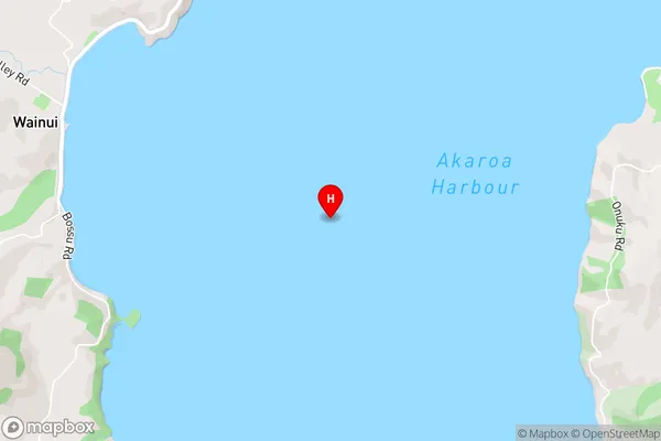
Akaroa HarbourAkaroa Harbour Area Map (Street)
Local Authority
Christchurch CityFull Address
Akaroa Harbour, Christchurch City, New ZealandAddress Type
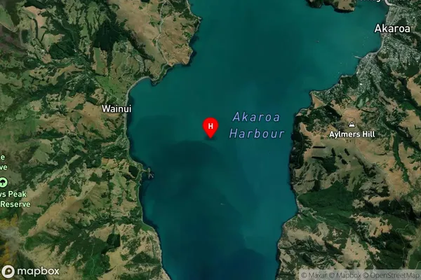
Coastal BayAkaroa Harbour Suburb Map (Satellite)
Country
Main Region in AU
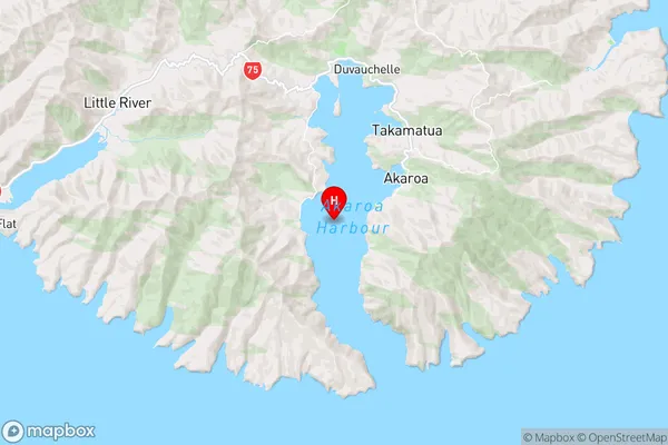
CanterburyAkaroa Harbour Region Map
Coordinates
-43.82369165,172.92437080883 (latitude/longitude)Distances
The distance from Akaroa Harbour, , Christchurch City to NZ Top 10 Cities