Abrahams Bosom Area, Abrahams Bosom Postcode & Map in Abrahams Bosom
Abrahams Bosom Area, Abrahams Bosom Postcode & Map in Abrahams Bosom, Area outside Territorial Authority, New Zealand
Abrahams Bosom, Area outside Territorial Authority, New Zealand
Abrahams Bosom Area (estimated)
0.2 square kilometersAbrahams Bosom Population (estimated)
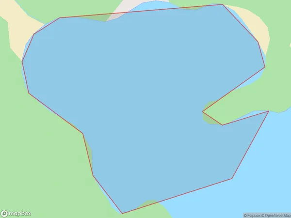
0 people live in Abrahams Bosom, Stewart Island / Rakiura Community, NZAbrahams Bosom Suburb Area Map (Polygon)
Abrahams Bosom Introduction
Abrahams Bosom is a small rural community in Southland, New Zealand. It is located in the Catlins District and is known for its scenic beauty, including the Abrahams Bosom Forest and the Abrahams Bosom Scenic Reserve. The community has a population of around 200 people and is surrounded by farmland and native bush.Region
Major City
Suburb Name
Abrahams BosomOther Name(s)
Port AdventureAbrahams Bosom Area Map (Street)

Local Authority
Area outside Territorial AuthorityFull Address
Abrahams Bosom, Area outside Territorial Authority, New ZealandAddress Type
Coastal BayAbrahams Bosom Suburb Map (Satellite)

Country
Main Region in AU
SouthlandAbrahams Bosom Region Map

Coordinates
-47.0619602,168.16719118756 (latitude/longitude)Distances
The distance from Abrahams Bosom, , Area outside Territorial Authority to NZ Top 10 Cities