Abrahams Bay Area, Abrahams Bay Postcode & Map in Abrahams Bay
Abrahams Bay Area, Abrahams Bay Postcode & Map in Abrahams Bay, Area outside Territorial Authority, New Zealand
Abrahams Bay, Area outside Territorial Authority, New Zealand
Abrahams Bay Area (estimated)
1.0 square kilometersAbrahams Bay Population (estimated)
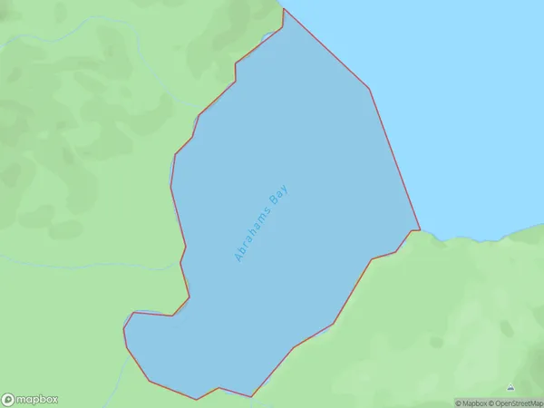
0 people live in Abrahams Bay, Southland, NZAbrahams Bay Suburb Area Map (Polygon)
Abrahams Bay Introduction
Abrahams Bay is a small bay located in Southland, New Zealand. It is situated on the southern coast of the South Island, between the towns of Invercargill and Lumsden. The bay is named after the explorer William Abraham, who visited the area in 1840. It is a popular spot for fishing, with a variety of species such as blue cod, red cod, and halibut available to catch. The bay also has a small population of seals and penguins, and is a popular destination for bird watchers.Region
Suburb Name
Abrahams BayOther Name(s)
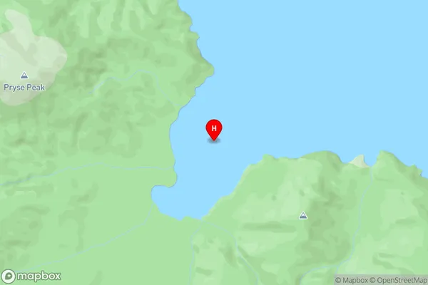
Paterson Inlet/Whaka a Te WeraAbrahams Bay Area Map (Street)
Local Authority
Area outside Territorial AuthorityFull Address
Abrahams Bay, Area outside Territorial Authority, New ZealandAddress Type
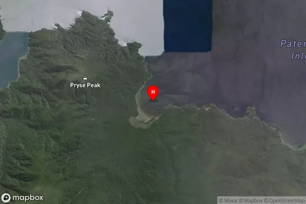
Coastal BayAbrahams Bay Suburb Map (Satellite)
Country
Main Region in AU
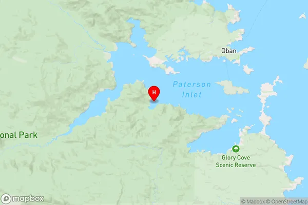
SouthlandAbrahams Bay Region Map
Coordinates
-46.94537395,168.028376472072 (latitude/longitude)Distances
The distance from Abrahams Bay, , Area outside Territorial Authority to NZ Top 10 Cities