Wyuna Bay Area, Wyuna Bay Postcode(3543) & Map in Wyuna Bay
Wyuna Bay Area, Wyuna Bay Postcode(3543) & Map in Wyuna Bay, Thames-Coromandel District, New Zealand
Wyuna Bay, Thames-Coromandel District, New Zealand
Wyuna Bay Postcodes
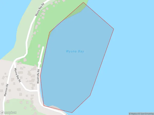
Wyuna Bay Area (estimated)
0.1 square kilometersWyuna Bay Population (estimated)
0 people live in Wyuna Bay, Waikato, NZWyuna Bay Suburb Area Map (Polygon)
Wyuna Bay Introduction
Wyuna Bay is a small, shallow bay located in the Waikato region of New Zealand. It is known for its peaceful atmosphere, stunning coastal scenery, and popular fishing spot. The bay is surrounded by lush green hills and is a popular spot for outdoor activities such as hiking, kayaking, and picnicking. The bay also has a small population of native birds, including kereru and tui.Region
Major City
Suburb Name
Wyuna BayOther Name(s)
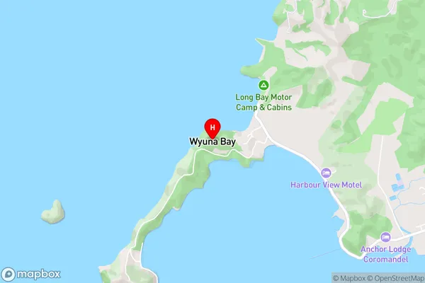
Mcgregor Bay, Hauraki GulfWyuna Bay Area Map (Street)
Local Authority
Thames-Coromandel DistrictFull Address
Wyuna Bay, Thames-Coromandel District, New ZealandAddress Type
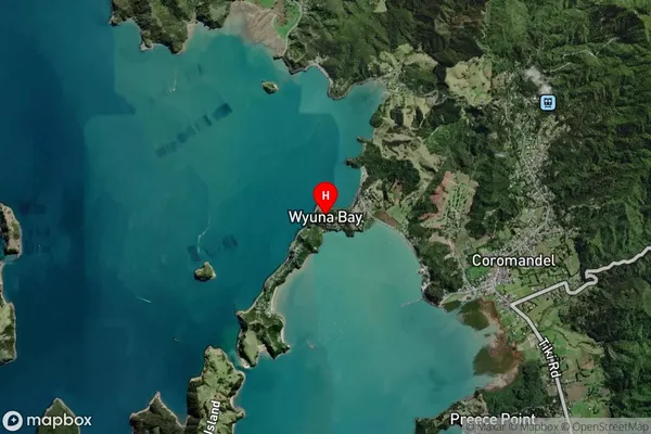
Coastal BayWyuna Bay Suburb Map (Satellite)
Country
Main Region in AU
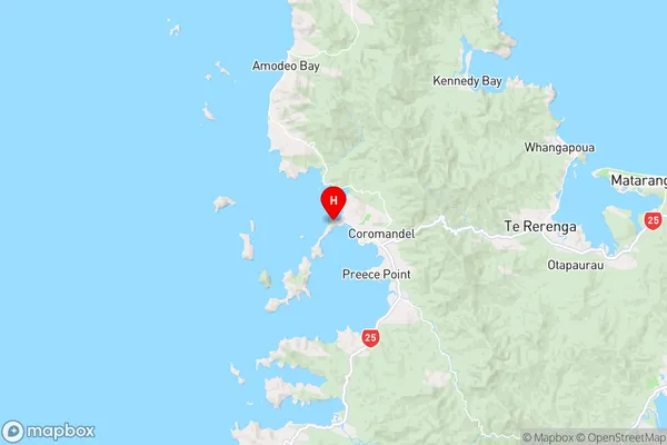
WaikatoWyuna Bay Region Map
Coordinates
-36.7516632,175.4709348 (latitude/longitude)Distances
The distance from Wyuna Bay, , Thames-Coromandel District to NZ Top 10 Cities