Wynens Bay Area, Wynens Bay Postcode & Map in Wynens Bay
Wynens Bay Area, Wynens Bay Postcode & Map in Wynens Bay, Marlborough District, New Zealand
Wynens Bay, Marlborough District, New Zealand
Wynens Bay Area (estimated)
0.4 square kilometersWynens Bay Population (estimated)
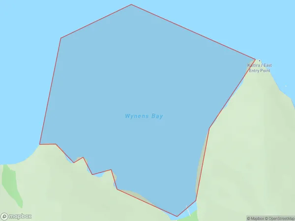
0 people live in Wynens Bay, Marlborough, NZWynens Bay Suburb Area Map (Polygon)
Wynens Bay Introduction
Wynens Bay is a popular beach in Marlborough, New Zealand, known for its clear waters, stunning sunsets, and peaceful atmosphere. It is a great spot for swimming, sunbathing, and fishing, and is surrounded by beautiful vineyards and olive groves. The bay is also home to a small community of residents and a popular campground.Region
Suburb Name
Wynens BayOther Name(s)
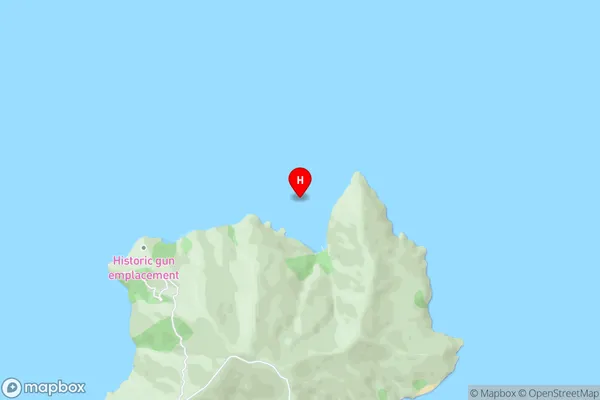
Waitata Reach (Maori Name: Waitātā Reach)Wynens Bay Area Map (Street)
Local Authority
Marlborough DistrictFull Address
Wynens Bay, Marlborough District, New ZealandAddress Type
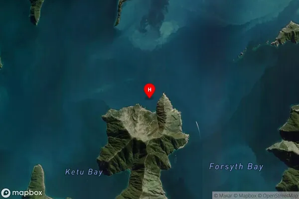
Coastal BayWynens Bay Suburb Map (Satellite)
Country
Main Region in AU
MarlboroughWynens Bay Region Map

Coordinates
-40.9665745,174.0089786 (latitude/longitude)Distances
The distance from Wynens Bay, , Marlborough District to NZ Top 10 Cities