Maraeweka Area, Maraeweka Postcode & Map in Maraeweka
Maraeweka Area, Maraeweka Postcode & Map in Maraeweka, Waitaki District,
Maraeweka, Waitaki District,
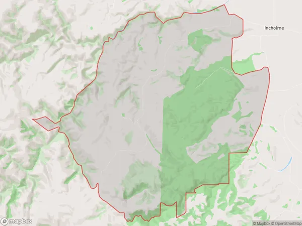
Maraeweka Area (estimated)
62.9 square kilometersMaraeweka Population (estimated)
29 people live in Maraeweka, Oamaru, NZMaraeweka Suburb Area Map (Polygon)
Maraeweka Introduction
Maraeweka is a small rural town in Otago, New Zealand, located on State Highway 1. It is known for its historic stone buildings and as the birthplace of the famous writer and poet Janet Frame. The town has a population of around 200 people and is surrounded by stunning countryside, including the Taieri River and the Mount Cargill Range.Region
Major City
Suburb Name
MaraewekaOther Name(s)
Kuriheka, MaerawekaMaraeweka Area Map (Street)
Local Authority
Waitaki DistrictFull Address
Maraeweka, Waitaki District,Address Type
Locality in Town OamaruMaraeweka Suburb Map (Satellite)
Country
Main Region in AU
OtagoMaraeweka Region Map
Coordinates
0,0 (latitude/longitude)Distances
The distance from Maraeweka, Oamaru, Waitaki District to NZ Top 10 Cities