Whiwhiroa Bay Area, Whiwhiroa Bay Postcode(3225) & Map in Whiwhiroa Bay
Whiwhiroa Bay Area, Whiwhiroa Bay Postcode(3225) & Map in Whiwhiroa Bay, Waikato District, New Zealand
Whiwhiroa Bay, Waikato District, New Zealand
Whiwhiroa Bay Postcodes
Whiwhiroa Bay Area (estimated)
0.2 square kilometersWhiwhiroa Bay Population (estimated)
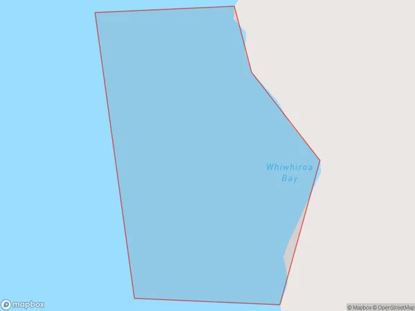
0 people live in Whiwhiroa Bay, Waikato, NZWhiwhiroa Bay Suburb Area Map (Polygon)
Whiwhiroa Bay Introduction
Whiwhiroa Bay is a small, shallow bay on the Waikato coast of New Zealand. It is located about 12 kilometers north of Otorohanga and 25 kilometers south of Hamilton. The bay is surrounded by farmland and has a peaceful, rural atmosphere. It is popular with fishermen and boaters and is known for its clear waters and beautiful sunsets. The bay has a small population of native birds, including tui and kereru.Region
Suburb Name
Whiwhiroa BayOther Name(s)
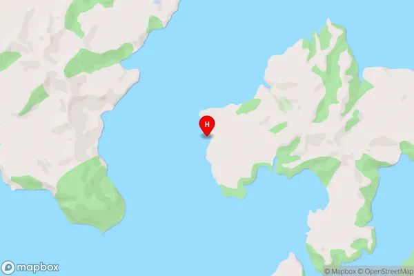
Whaingaroa HarbourWhiwhiroa Bay Area Map (Street)
Local Authority
Waikato DistrictFull Address
Whiwhiroa Bay, Waikato District, New ZealandAddress Type
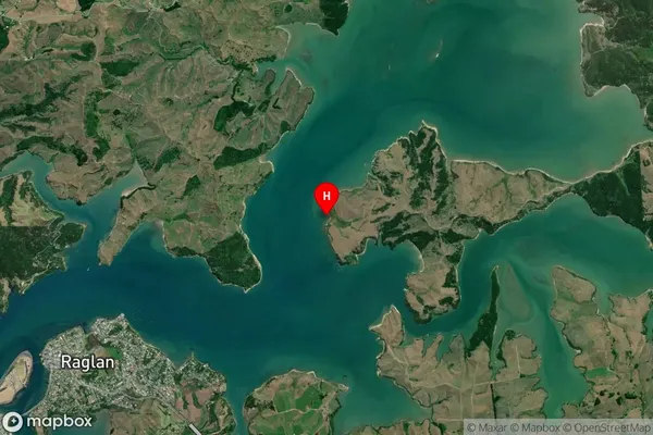
Coastal BayWhiwhiroa Bay Suburb Map (Satellite)
Country
Main Region in AU
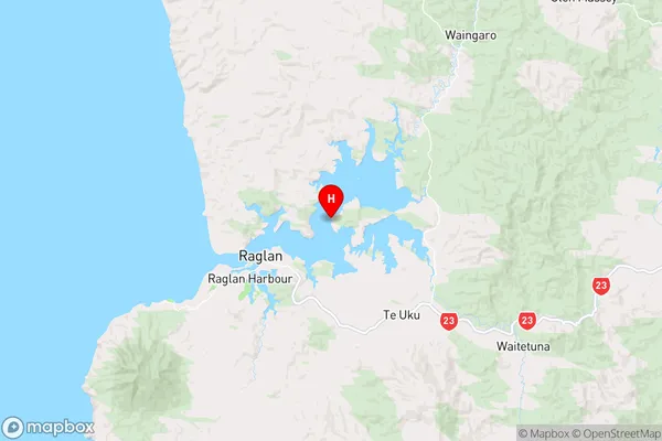
WaikatoWhiwhiroa Bay Region Map
Coordinates
-37.7823573,174.9121367 (latitude/longitude)Distances
The distance from Whiwhiroa Bay, , Waikato District to NZ Top 10 Cities