Whituare Bay Area, Whituare Bay Postcode & Map in Whituare Bay
Whituare Bay Area, Whituare Bay Postcode & Map in Whituare Bay, Area outside Territorial Authority, New Zealand
Whituare Bay, Area outside Territorial Authority, New Zealand
Whituare Bay Area (estimated)
3.8 square kilometersWhituare Bay Population (estimated)
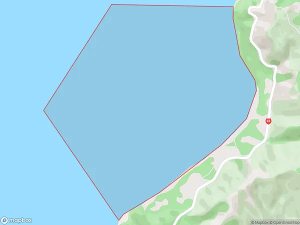
0 people live in Whituare Bay, Bay of Plenty, NZWhituare Bay Suburb Area Map (Polygon)
Whituare Bay Introduction
Whituare Bay is located in the Bay of Plenty region of New Zealand. It is known for its stunning coastal scenery, including white sand beaches, rugged cliffs, and crystal-clear waters. The bay is a popular destination for outdoor activities such as swimming, surfing, kayaking, and fishing. It is also home to a variety of wildlife, including penguins, seals, and dolphins.Region
Suburb Name
Whituare BayOther Name(s)
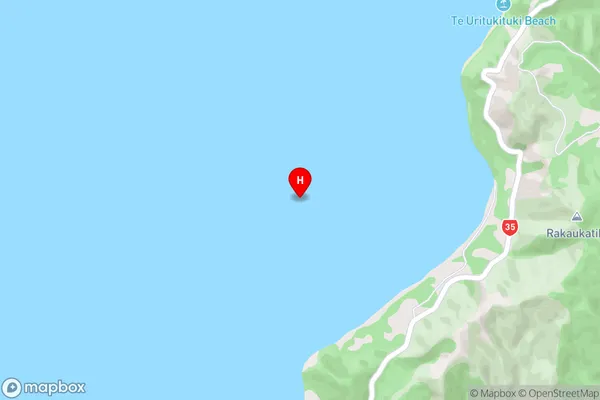
Bay Of PlentyWhituare Bay Area Map (Street)
Local Authority
Area outside Territorial AuthorityFull Address
Whituare Bay, Area outside Territorial Authority, New ZealandAddress Type
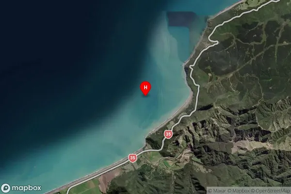
Coastal BayWhituare Bay Suburb Map (Satellite)
Country
Main Region in AU
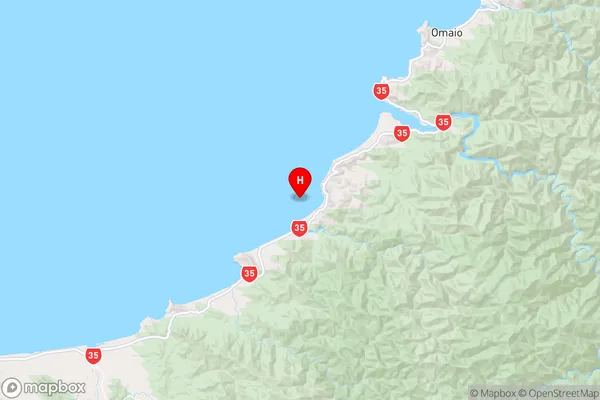
Bay of PlentyWhituare Bay Region Map
Coordinates
-37.9050029,177.5322164 (latitude/longitude)Distances
The distance from Whituare Bay, , Area outside Territorial Authority to NZ Top 10 Cities