Whitianga Bay Area, Whitianga Bay Postcode(3162) & Map in Whitianga Bay
Whitianga Bay Area, Whitianga Bay Postcode(3162) & Map in Whitianga Bay, Area outside Territorial Authority, New Zealand
Whitianga Bay, Area outside Territorial Authority, New Zealand
Whitianga Bay Postcodes
Whitianga Bay Area (estimated)
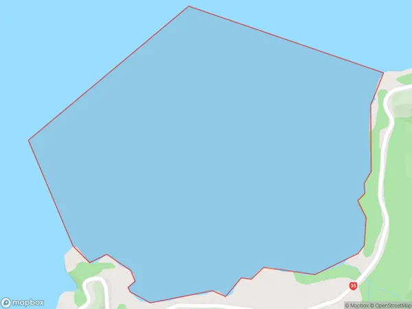
2.5 square kilometersWhitianga Bay Population (estimated)
0 people live in Whitianga Bay, Bay of Plenty, NZWhitianga Bay Suburb Area Map (Polygon)
Whitianga Bay Introduction
Whitianga Bay is a popular holiday destination in the Bay of Plenty, New Zealand. It is known for its clear waters, sandy beaches, and stunning coastal scenery. The bay is also a popular spot for water activities such as swimming, snorkeling, and kayaking. It is located about 2 hours' drive from Tauranga and 3 hours' drive from Auckland.Region
Suburb Name
Whitianga BayOther Name(s)
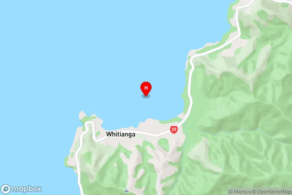
Bay Of PlentyWhitianga Bay Area Map (Street)
Local Authority
Area outside Territorial AuthorityFull Address
Whitianga Bay, Area outside Territorial Authority, New ZealandAddress Type
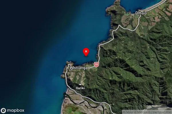
Coastal BayWhitianga Bay Suburb Map (Satellite)
Country
Main Region in AU
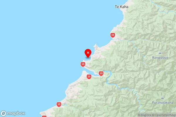
Bay of PlentyWhitianga Bay Region Map
Coordinates
-37.8351914,177.6000097 (latitude/longitude)Distances
The distance from Whitianga Bay, , Area outside Territorial Authority to NZ Top 10 Cities