Whitehead Bay Area, Whitehead Bay Postcode & Map in Whitehead Bay
Whitehead Bay Area, Whitehead Bay Postcode & Map in Whitehead Bay, Area outside Territorial Authority, New Zealand
Whitehead Bay, Area outside Territorial Authority, New Zealand
Whitehead Bay Area (estimated)
0.4 square kilometersWhitehead Bay Population (estimated)
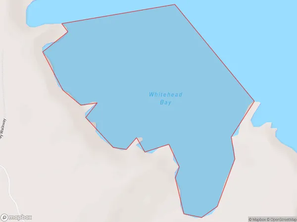
0 people live in Whitehead Bay, Canterbury, NZWhitehead Bay Suburb Area Map (Polygon)
Region
Suburb Name
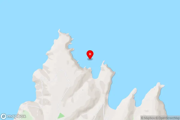
Whitehead BayWhitehead Bay Area Map (Street)
Local Authority
Area outside Territorial AuthorityFull Address
Whitehead Bay, Area outside Territorial Authority, New ZealandAddress Type
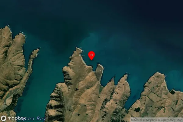
Coastal BayWhitehead Bay Suburb Map (Satellite)
Country
Main Region in AU
CanterburyWhitehead Bay Region Map

Coordinates
-43.6285312,172.9407745 (latitude/longitude)Distances
The distance from Whitehead Bay, , Area outside Territorial Authority to NZ Top 10 Cities