Whenuanui or Becks Bay Area, Whenuanui or Becks Bay Postcode & Map in Whenuanui or Becks Bay
Whenuanui or Becks Bay Area, Whenuanui or Becks Bay Postcode & Map in Whenuanui or Becks Bay, Marlborough District,
Whenuanui or Becks Bay, Marlborough District,
Whenuanui or Becks Bay Area (estimated)
0.1 square kilometersWhenuanui or Becks Bay Population (estimated)
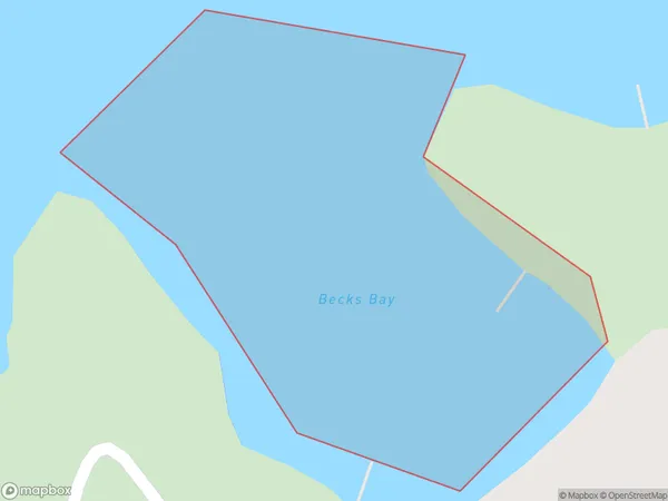
0 people live in Whenuanui or Becks Bay, Brighton, NZWhenuanui or Becks Bay Suburb Area Map (Polygon)
Whenuanui or Becks Bay Introduction
Whenuanui or Becks Bay is a small bay and beach located in the southern region of Otago, New Zealand. It is situated at the mouth of the Taieri River and is known for its stunning natural beauty, including rugged cliffs, golden sand beaches, and crystal-clear waters. The bay is a popular spot for swimming, kayaking, and fishing, and it is also home to a small community of residents.Region
Major City
Suburb Name
Whenuanui or Becks BayOther Name(s)
Grove Arm, Queen Charlotte Sound (Totaranui)Whenuanui or Becks Bay Area Map (Street)
Local Authority
Marlborough DistrictFull Address
Whenuanui or Becks Bay, Marlborough District,Address Type
Coastal BayWhenuanui or Becks Bay Suburb Map (Satellite)
Country
Main Region in AU
OtagoWhenuanui or Becks Bay Region Map
Coordinates
0,0 (latitude/longitude)Distances
The distance from Whenuanui or Becks Bay, , Marlborough District to NZ Top 10 Cities