Whareponga Bay Area, Whareponga Bay Postcode & Map in Whareponga Bay
Whareponga Bay Area, Whareponga Bay Postcode & Map in Whareponga Bay, Area outside Territorial Authority, New Zealand
Whareponga Bay, Area outside Territorial Authority, New Zealand
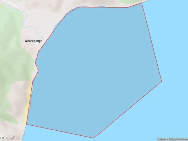
Whareponga Bay Area (estimated)
1.4 square kilometersWhareponga Bay Population (estimated)
0 people live in Whareponga Bay, Gisborne, NZWhareponga Bay Suburb Area Map (Polygon)
Whareponga Bay Introduction
Whareponga Bay is a picturesque beach located in Gisborne, New Zealand. It is known for its clear waters, golden sand, and stunning coastal views. The bay is a popular spot for swimming, sunbathing, and fishing, and it is also home to a small community of residents. The area is surrounded by lush green forests and picturesque farmland, and it is a popular destination for nature lovers and outdoor enthusiasts.Region
Suburb Name
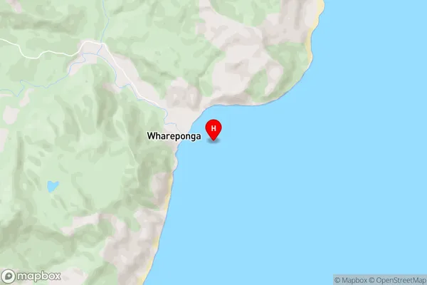
Whareponga BayWhareponga Bay Area Map (Street)
Local Authority
Area outside Territorial AuthorityFull Address
Whareponga Bay, Area outside Territorial Authority, New ZealandAddress Type
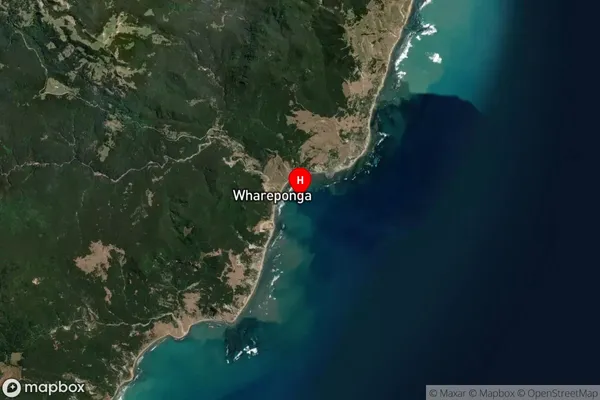
Coastal BayWhareponga Bay Suburb Map (Satellite)
Country
Main Region in AU
GisborneWhareponga Bay Region Map

Coordinates
-37.9687974,178.379581 (latitude/longitude)Distances
The distance from Whareponga Bay, , Area outside Territorial Authority to NZ Top 10 Cities