Wharenareke Bay Area, Wharenareke Bay Postcode(3010) & Map in Wharenareke Bay
Wharenareke Bay Area, Wharenareke Bay Postcode(3010) & Map in Wharenareke Bay, Rotorua District, New Zealand
Wharenareke Bay, Rotorua District, New Zealand
Wharenareke Bay Postcodes
Wharenareke Bay Area (estimated)
0.1 square kilometersWharenareke Bay Population (estimated)
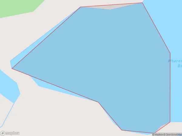
0 people live in Wharenareke Bay, Bay of Plenty, NZWharenareke Bay Suburb Area Map (Polygon)
Wharenareke Bay Introduction
Wharenareke Bay is a picturesque bay located in the Bay of Plenty, New Zealand. It is known for its clear waters, sandy beaches, and stunning coastal scenery. The bay is a popular destination for swimming, boating, and fishing, and is home to a variety of wildlife, including dolphins, whales, and seals. The bay is also home to a historic pa site, which dates back to the early 1300s.Region
Suburb Name
Wharenareke BayOther Name(s)
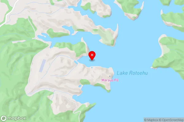
Lake RotoehuWharenareke Bay Area Map (Street)
Local Authority
Rotorua DistrictFull Address
Wharenareke Bay, Rotorua District, New ZealandAddress Type
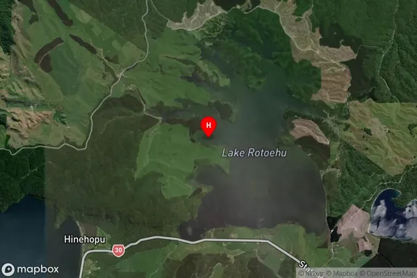
Inland BayWharenareke Bay Suburb Map (Satellite)
Country
Main Region in AU
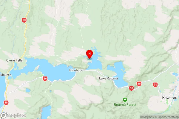
Bay of PlentyWharenareke Bay Region Map
Coordinates
-38.0162734,176.5187622 (latitude/longitude)Distances
The distance from Wharenareke Bay, , Rotorua District to NZ Top 10 Cities