Whapukapirau Bay Area, Whapukapirau Bay Postcode & Map in Whapukapirau Bay
Whapukapirau Bay Area, Whapukapirau Bay Postcode & Map in Whapukapirau Bay, Far North District, New Zealand
Whapukapirau Bay, Far North District, New Zealand
Whapukapirau Bay Area (estimated)
0.2 square kilometersWhapukapirau Bay Population (estimated)
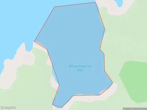
0 people live in Whapukapirau Bay, Bay of Islands-Whangaroa Community, NZWhapukapirau Bay Suburb Area Map (Polygon)
Whapukapirau Bay Introduction
Whapukapirau Bay is a large bay in Northland, New Zealand. It is located at the northern end of the Bay of Islands and is surrounded by rugged coastline and dense forest. The bay is known for its clear waters and rich marine life, including dolphins, whales, and seals. It is also a popular destination for fishing and kayaking. The bay has a population of around 100 people and is accessible by a narrow road.Region
Major City
Suburb Name
Whapukapirau BayOther Name(s)
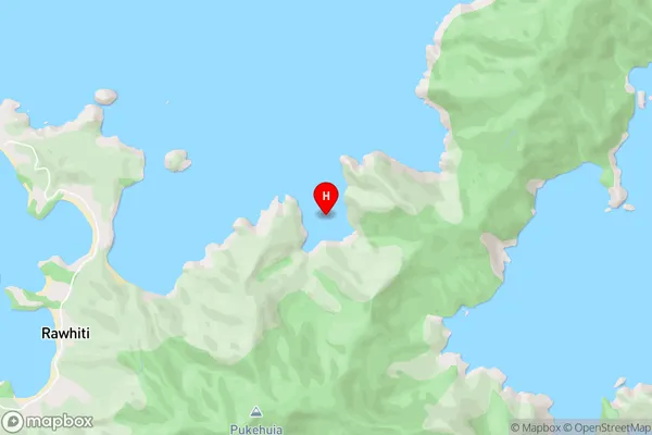
Bay Of IslandsWhapukapirau Bay Area Map (Street)
Local Authority
Far North DistrictFull Address
Whapukapirau Bay, Far North District, New ZealandAddress Type
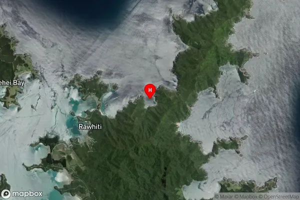
Coastal BayWhapukapirau Bay Suburb Map (Satellite)
Country
Main Region in AU
NorthlandWhapukapirau Bay Region Map

Coordinates
-35.2255949,174.281702 (latitude/longitude)Distances
The distance from Whapukapirau Bay, , Far North District to NZ Top 10 Cities