Whangatoetoe Bay Area, Whangatoetoe Bay Postcode & Map in Whangatoetoe Bay
Whangatoetoe Bay Area, Whangatoetoe Bay Postcode & Map in Whangatoetoe Bay, Marlborough District, New Zealand
Whangatoetoe Bay, Marlborough District, New Zealand
Whangatoetoe Bay Area (estimated)
0.2 square kilometersWhangatoetoe Bay Population (estimated)
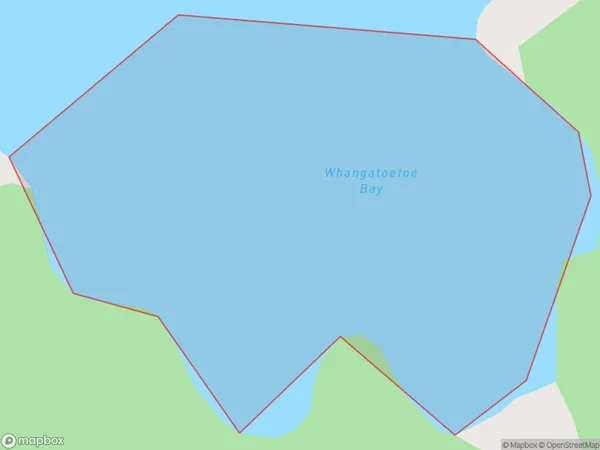
0 people live in Whangatoetoe Bay, Marlborough, NZWhangatoetoe Bay Suburb Area Map (Polygon)
Whangatoetoe Bay Introduction
Whangatoetoe Bay is a popular beach in Marlborough, New Zealand. It is known for its clear waters, sandy beaches, and stunning coastal views. The bay is a popular spot for swimming, boating, and fishing, and it is also home to a variety of wildlife, including seals and penguins. The bay is located about 30 minutes drive from Blenheim, and it is easily accessible by car or public transportation.Region
Suburb Name
Whangatoetoe BayOther Name(s)
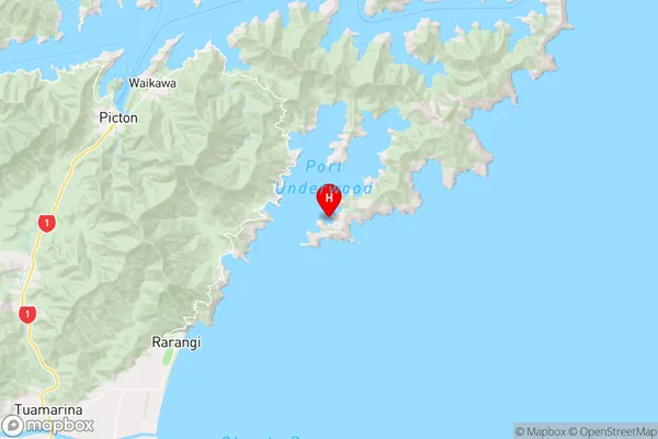
Port Underwood, Cook StraitWhangatoetoe Bay Area Map (Street)

Local Authority
Marlborough DistrictFull Address
Whangatoetoe Bay, Marlborough District, New ZealandAddress Type
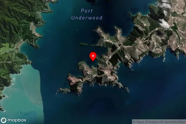
Coastal BayWhangatoetoe Bay Suburb Map (Satellite)
Country
Main Region in AU
MarlboroughWhangatoetoe Bay Region Map
Coordinates
-41.3387957,174.1387824 (latitude/longitude)Distances
The distance from Whangatoetoe Bay, , Marlborough District to NZ Top 10 Cities